Drone mapping and surveying in Albacete
Drone surveying, photogrammetry, LiDAR and thermography across the province of Albacete: the plains of La Mancha with solar PV plants and wind farms, extensive and irrigated farming, grid connection power lines and the road and rail corridors.
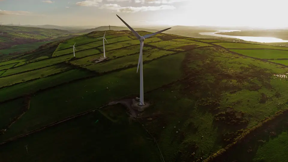
Topographic surveys in Albacete: the terrain and the projects
The plains of La Mancha around Albacete, La Roda and Villarrobledo are large open areas, the terrain where solar PV plants are designed. For each one we deliver DTMs, contour lines, drainage networks and shading analysis.
The wind farms of the province, on the plains and in the hills, need DTMs of the sites, the access roads and the platforms, and construction progress monitoring.
The grid connection power lines that link those plants to the network are long corridors that are surveyed and inspected with LiDAR, detailed photography and thermography.
Extensive cereal and vineyard farming and the irrigated land of the plains call for farm orthophotos and multispectral analysis to track crop condition.
The industrial estates of Albacete and Almansa, and the corridors of the A-31, the A-30 and the railway, need base mapping, longitudinal profiles and cross-sections, and construction progress monitoring.
To the south, the Sierra del Segura and the Sierra de Alcaraz have relief and vegetation: LiDAR terrain, where photogrammetry cannot reach the ground.
Drone mapping in Albacete from Xàtiva
fita is based in Xàtiva, in the Valencia region (Comunitat Valenciana), and takes on projects in the province of Albacete with the same equipment and the same organisation.
On large-area projects, such as solar PV plants or power line corridors, we organise the work in full days of flying and ground support.
The equipment is the same as always: a DJI Matrice 400 drone with DJI Zenmuse L3 LiDAR, a metric RGB camera, a multispectral camera, a DJI Zenmuse H30T radiometric thermal camera, GNSS RTK and a total station.
We deliver in official ETRS89 coordinates (UTM, in the appropriate zone), with orthometric heights, ready for design, cadastre and construction.
Drone surveying services in the province of Albacete
On the plains, photogrammetry leads, for its efficiency over large areas. In the hills and in vegetated corridors, LiDAR.
- Drone surveying for solar PV plants and wind farms
- Drone photogrammetry: orthophotos, DSMs and 3D models
- Drone LiDAR in the hills and along power line corridors
- Inspection of grid connection lines and thermography of solar PV plants
- Precision agriculture in cereal, vineyards and irrigated land
- Construction monitoring and volume calculations on industrial estates and roads
Travel, lead times and flight areas in Albacete
We fly in any district (comarca) of the province. The flight date is agreed when the work is planned, depending on the weather, and the deliverables arrive, as a guide, 3 to 10 working days later; somewhat longer for LiDAR with classification or long corridors.
The area around the airport and Los Llanos air base, protected areas (Calares del Mundo y de la Sima, Lagunas de Ruidera) and town centres require prior coordination or authorisation, which is part of the planning.
Questions about work in Albacete
Do you charge for travel to Albacete?
Travel is included in the quote transparently. We group jobs into full days so that it weighs as little as possible in the total.
How long does it take to deliver a survey in Albacete?
As a guide, 3 to 10 working days from the flight for orthophoto, DTM and contour lines. For large plants or power line corridors with classified LiDAR, somewhat longer. The flight date is agreed when the work is planned.
Do you carry out surveys for solar PV plants and wind farms in Albacete?
Yes. For the design we deliver DTMs, contour lines, drainage networks and shading analysis. During construction, progress monitoring and volume calculations; on grid connection lines, LiDAR of the corridor.
Which areas of Albacete do you cover?
The whole province: La Mancha around Albacete, La Manchuela, the Corredor de Almansa, the Campos de Hellín and the Segura and Alcaraz ranges. In the hills, LiDAR is the usual technique.
Tell us where the project is and what you need to solve
You can send us the site boundary, a plan or the specification. We will reply within one or two working days to review the scope and confirm when you can expect the proposal.