Drone mapping and surveying in Alicante
Drone surveying, photogrammetry, LiDAR and thermography across the province of Alicante: the irrigated farmland of the Vega Baja, the hillsides of the Marina, the solar PV plants of the Vinalopó and the road, rail and power line corridors.
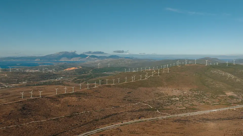
Topographic surveys in Alicante: the terrain and the projects
The Vega Baja is flat and agricultural, with a network of irrigation and drainage channels (acequias and azarbes) and a known flood risk. It needs accurate DTMs, drainage network and catchment mapping, and plot orthophotos.
The Marina Alta and the Marina Baixa have steep relief, hillside developments and a complex coastline: LiDAR surveys, 3D models and mapping for urban planning.
The Vinalopó and the interior concentrate solar PV plants, quarries, industrial estates and sloping land with scrub.
The corridors of the A-7, the AP-7, the railway towards Murcia and the high-voltage power lines cross the province and are mapped and inspected with LiDAR.
The Alcoià and the Comtat, industrial and mountainous, combine industrial estates with terrain where photogrammetry needs the support of LiDAR.
Drone mapping in Alicante from Xàtiva
Our base in Xàtiva is in the south of the province of Valencia, a few kilometres from the border with Alicante.
Alcoi is less than an hour away; Alicante city and Elche, just over an hour; the Vega Baja, around an hour and a half.
That proximity means we can fly in Alicante within the same day, with no overnight stays or significant extra travel costs.
We deliver in official ETRS89 coordinates (UTM, in the appropriate zone), with orthometric heights, ready for design, cadastre and construction.
Surveying and drone services in Alicante
The same services and deliverables as in the rest of the Valencia region (Comunitat Valenciana), adapted to the terrain of each district.
- Drone surveying for plots, industrial estates and residential developments
- Drone LiDAR on hillsides, woodland and linear corridors
- Drone photogrammetry: orthophotos, DSMs and 3D models
- Thermography of solar PV plants in the Vinalopó and the interior
- Construction monitoring and volume calculations for civil works and quarries
- Drainage network and catchments in the Vega Baja
Travel, lead times and flight areas in the province of Alicante
We fly in any district (comarca) of Alicante. The flight is scheduled within a few days depending on the weather, and the deliverables arrive, as a guide, 3 to 10 working days later.
The area around Alicante-Elche airport, the coastline with protected areas (Montgó, Serra Gelada, Tabarca, the Santa Pola and Torrevieja salt flats) and town centres require prior coordination or authorisation, which we include in the planning.
Questions about work in Alicante
Do you charge for travel to Alicante?
Travel is included in the quote. From Xàtiva, most of the province is an hour or a little more away, so its weight in the total is small.
How long does it take to deliver a survey in Alicante?
As a guide, 3 to 10 working days from the flight for orthophoto, DTM and contour lines; somewhat longer for LiDAR with classification or long corridors. The flight is scheduled within a few days.
Which areas of Alicante do you cover?
The whole province: from the Vega Baja to the Marina Alta and from the coast to the Vinalopó and the Alcoià. No district is excluded.
Can you fly near the airport or in protected areas?
Yes, with the aeronautical coordination or the environmental authorisation that each area requires. It is arranged before the flight and taken into account in the lead time.
Tell us where the project is and what you need to solve
You can send us the site boundary, a plan or the specification. We will reply within one or two working days to review the scope and confirm when you can expect the proposal.