Drone mapping and surveying in Valencia
fita is based in Xàtiva, at the geographical centre of the province. From there we carry out drone surveying, LiDAR, photogrammetry and thermography across the huerta farmland, the industrial estates, the solar PV plants of the interior and the infrastructure corridors of the whole province of Valencia.
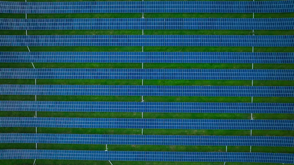
Drone surveying in Valencia: the projects we carry out
The province of Valencia brings together, in a small area, almost every type of terrain we map.
The huerta and La Ribera: citrus and persimmon farm plots, irrigation networks and farm orthophotos for management and multispectral analysis.
The industrial estates of the metropolitan area and along the A-7: base mapping of warehouses, roads and urban development for design and planning.
The interior (Utiel-Requena, Los Serranos, La Canal de Navarrés, La Vall d'Albaida): solar PV plants and wind farms on sloping ground with vegetation, where LiDAR makes the difference.
The high-voltage power lines that cross the province: long corridors inspected with LiDAR, detailed photography and thermography.
Civil works, roads, railways and quarries: baseline surveys, construction progress monitoring and volume calculations.
Topographic surveyors in Valencia, based in Xàtiva
fita is in Xàtiva, capital of La Costera, about 60 km from Valencia city and a few minutes from La Ribera, La Safor and La Vall d'Albaida.
That central position means we can reach any point in the province within the same day, with short journeys.
Every project is led by Vicent Doménech, a geodesy and cartography engineer, who is the technical contact for the project. We measure with drone, GNSS RTK and total station.
We deliver in official ETRS89 coordinates (UTM, in the appropriate zone), ready for cadastre, design and construction.
Drone services company in Valencia
Each service is adapted to the terrain: photogrammetry on open ground, LiDAR where there is vegetation, thermography on solar PV plants and roofs.
- Drone surveying: topographic plan, DTM and contour lines
- Drone photogrammetry: orthophotos, DSMs and 3D models
- Drone LiDAR: classified point cloud and DTM beneath vegetation
- Drone thermography: inspection of solar PV plants
- Power line inspection: corridor, clearances and towers
- Drone construction monitoring: volumes and progress by date
Travel, lead times and flight areas in the province of Valencia
We fly in any district (comarca) of the province. The area covered per day depends on the terrain, the sensor, the resolution required, the airspace and the planning; we set it in the flight plan for each project. The deliverables arrive within a few working days.
Flights near Manises airport (Valencia Airport), around the Albufera or in other protected areas require prior coordination, which is part of the planning.
In Valencia city and in town centres we fly with the authorisations that the regulations require for urban environments, which are arranged in advance.
Questions about work in Valencia
Do you charge for travel within the province of Valencia?
Travel is included in the quote transparently. From Xàtiva, any point in the province is less than two hours away, so it makes up little of the total.
How long does it take to deliver a survey in Valencia?
It depends on the area and the products. As a guide, 3 to 10 working days from the flight for a survey with orthophoto, DTM and contour lines. Flights are scheduled within a few days, depending on the weather.
Do you work outside the province of Valencia?
Yes. We cover Alicante and Castellón with the same organisation and carry out projects in the rest of Spain when the area or the type of work justifies it.
Can you fly in Valencia city?
Yes, with the authorisations that the regulations require for flying in urban environments and, near Manises, with the corresponding aeronautical coordination. It is planned in advance and included in the lead time.
Tell us where the project is and what you need to solve
You can send us the site boundary, a plan or the specification. We will reply within one or two working days to review the scope and confirm when you can expect the proposal.