Mapping of large sites and corridors
Every sector has its own question: where the slopes are, how much has moved, how much clearance is left to the line, how much shade the terrain casts, how fast a glacier flows. Drone mapping answers it with numbers.
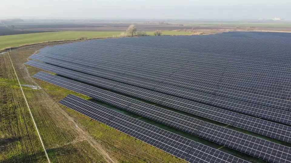
Renewable energy: solar PV and wind
DTM, slopes, shading and drainage for large sites, to design and build solar PV plants and wind farms.
See sector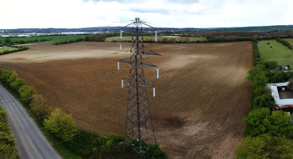
High-voltage power lines
Power line corridors with LiDAR: conductors, towers, vegetation and clearances in a single point cloud.
See sector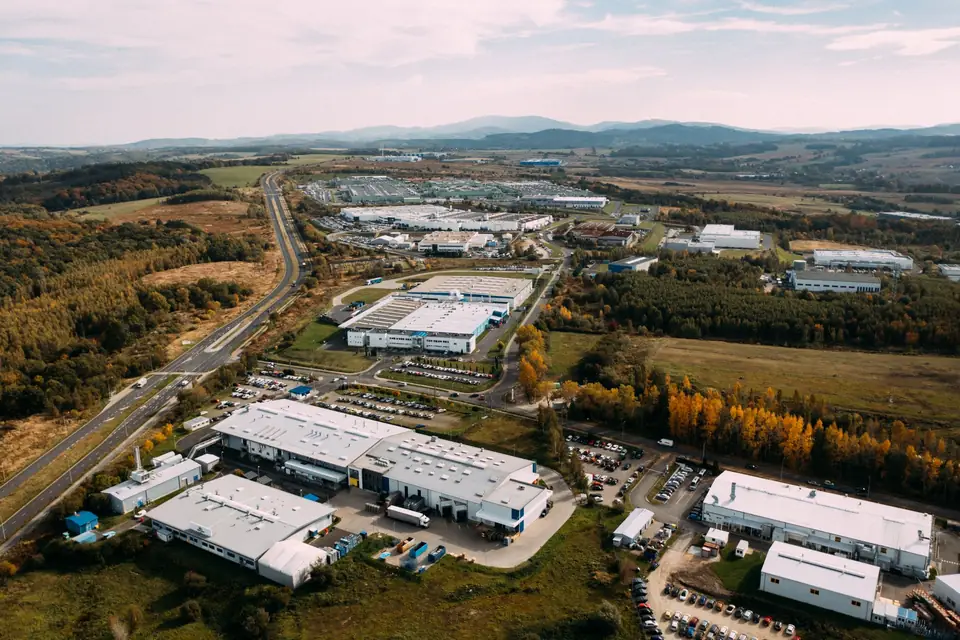
Industrial parks and urban planning
DTM, contour lines, orthophoto and 3D models of industrial estates, development land and warehouses for planning and design.
See sector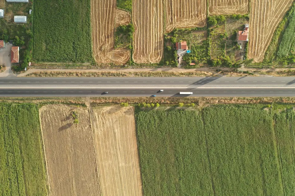
Roads and railways
Linear corridors with LiDAR and photogrammetry: route DTM, profiles and orthophoto for design, construction and maintenance.
See sector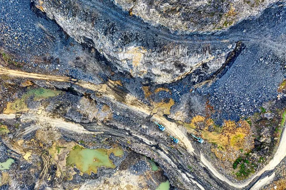
Civil works and quarries
Construction monitoring, stockpile volumes and earthworks valuation with data that can be compared over time.
See sector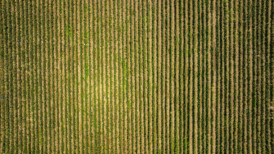
Agriculture
Orthophotos for CAP claims, multispectral analysis, tree counts and field topography for farms.
See sector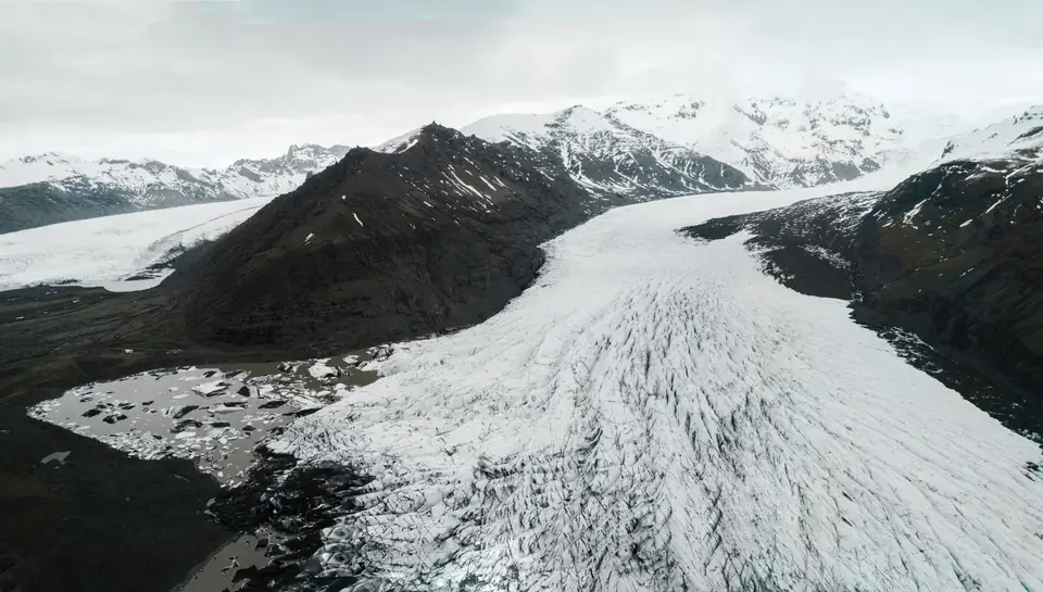
Glacier mapping: ice velocity and glacier change
Multi-date models to measure ice flow direction and velocity, mass balance and terminus retreat.
See sectorTell us where the project is and what you need to solve
You can send us the site boundary, a plan or the specification. We will reply within one or two working days to review the scope and confirm when you can expect the proposal.