What we deliver, ready for design
See what you will receive and how you can use it in your project: what each product is, how it is obtained, how accurate it is, which formats it comes in and what it is used for.
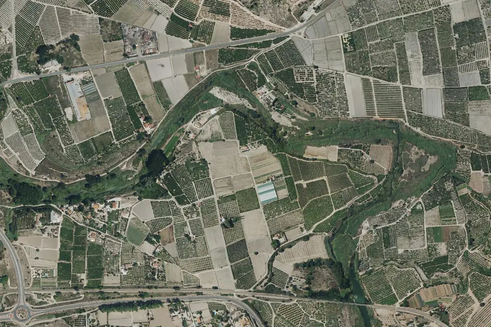
Drone orthophotos
Georeferenced aerial image free of distortion, ready to measure and to overlay on the cadastre and the project design.
See product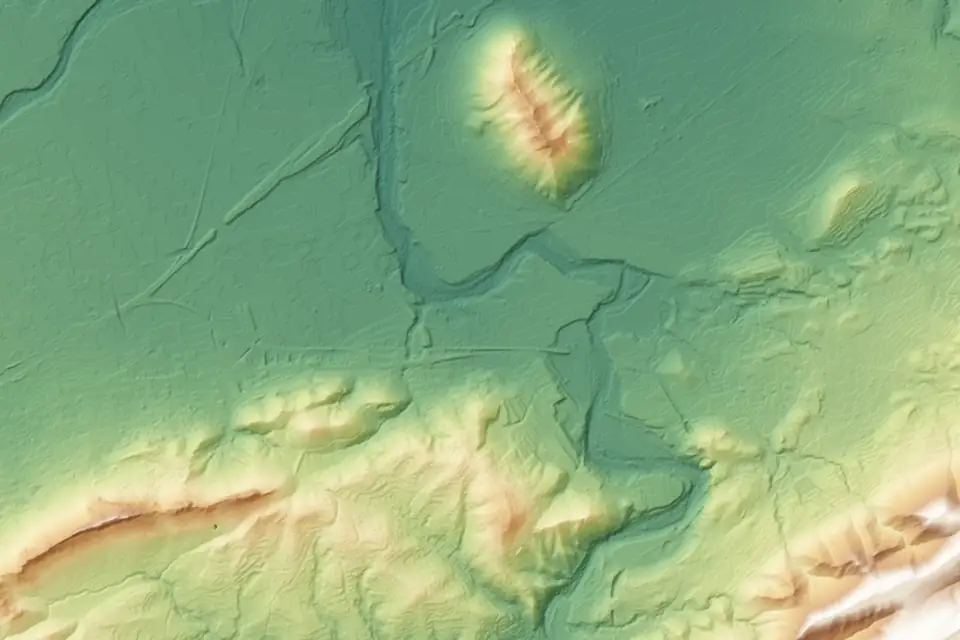
Digital terrain model (DTM)
Bare-earth surface without vegetation or buildings, for contour lines, profiles, drainage and volume calculations.
See product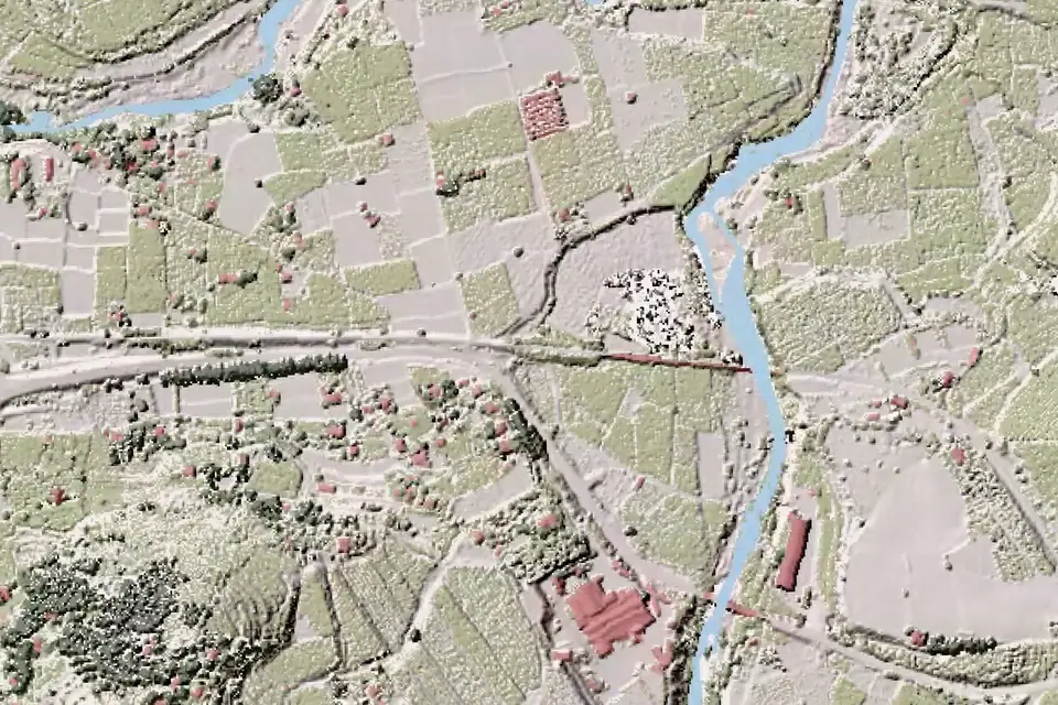
Digital surface model (DSM)
Surface with everything on the ground: buildings, vegetation and stockpiles. The base for shading and heights.
See product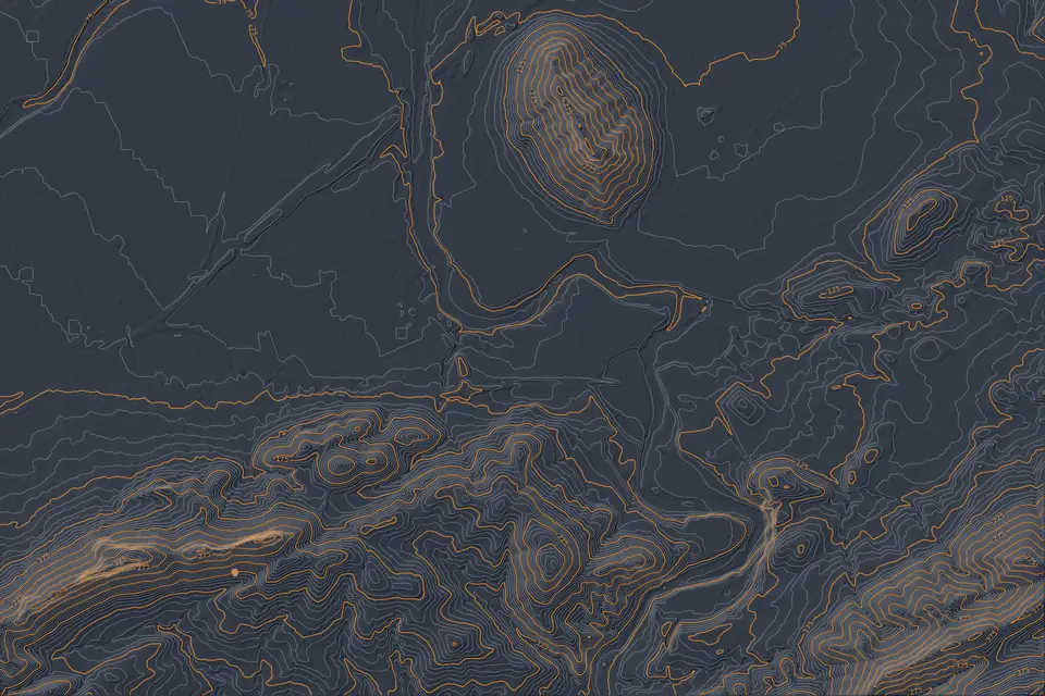
Contour lines
Lines of equal elevation generated from a project DTM, in DWG or SHP, at the contour interval the project requires.
See product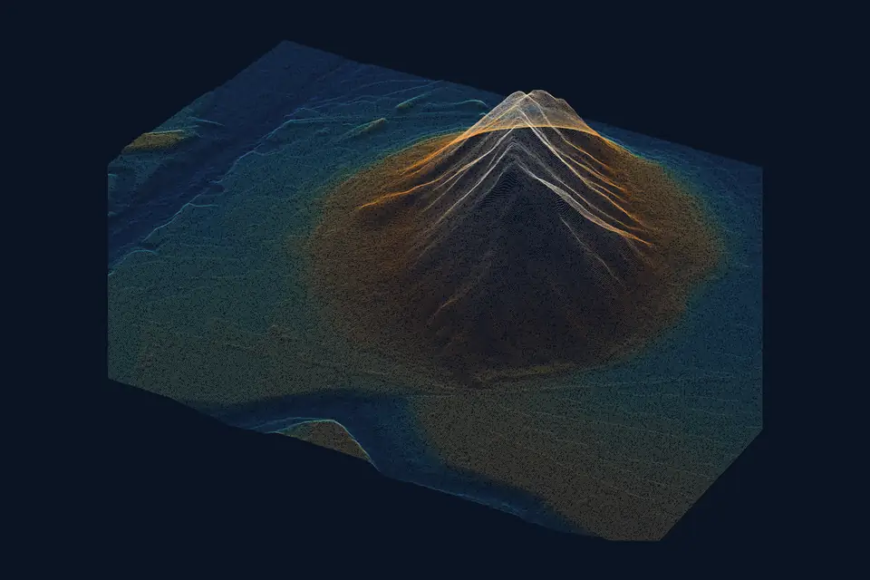
LiDAR and photogrammetric point clouds
Millions of points with coordinates and classes: the raw data from which the DTM, the DSM and 3D models are derived.
See product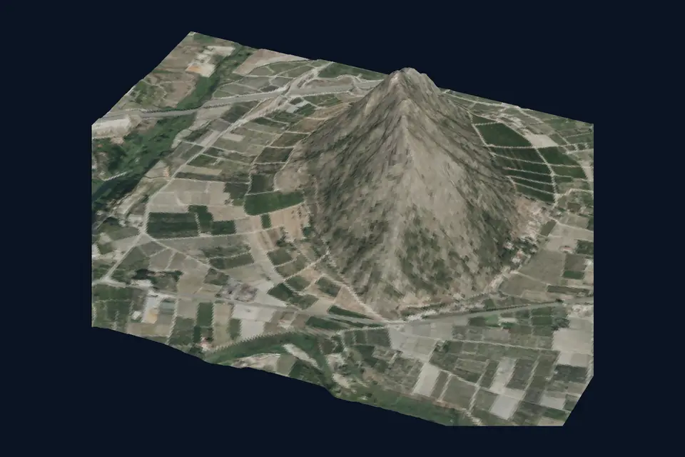
3D models from drones
Textured mesh and point cloud of terrain, buildings or infrastructure, ready for CAD, BIM or a web viewer.
See product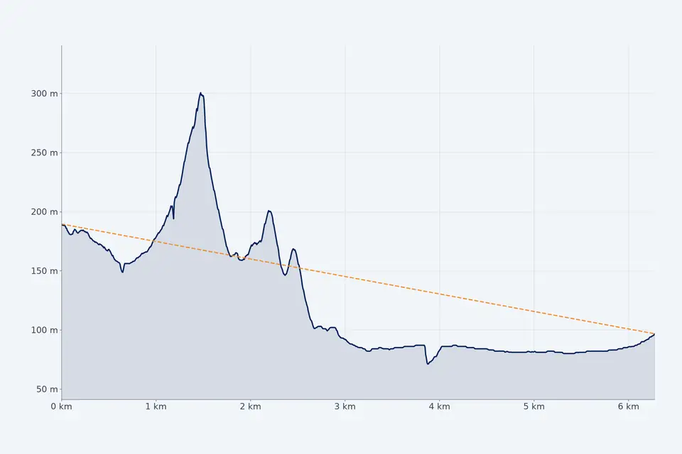
Longitudinal profiles and cross-sections
Sections of the ground along an alignment and across it, with real elevations, for vertical design and quantities.
See product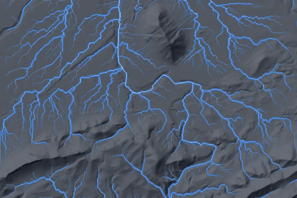
Drainage network and catchments
Flow lines, valley lines, divides and catchments calculated on a current, accurate DTM.
See product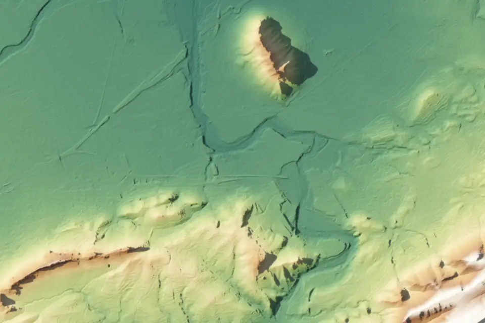
Solar shading analysis for PV plants
Shadows from relief and obstacles on the modules, hour by hour and by season, calculated from the DSM.
See product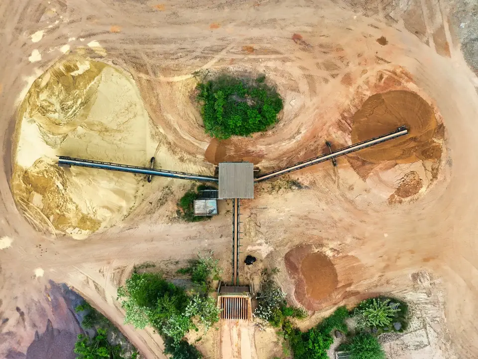
Volume calculations and stockpile volumes
Volumes of stockpiles, cut and fill by surface comparison, with a report and plans by zone.
See productTell us where the project is and what you need to solve
You can send us the site boundary, a plan or the specification. We will reply within one or two working days to review the scope and confirm when you can expect the proposal.