
Renewable energy
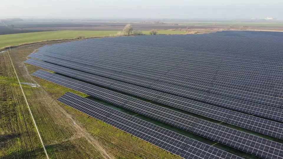
Mapping of the site, access roads and grid connection to study the layout and prepare the design. During construction, comparable data to follow how the ground changes.
We support engineering firms, developers and contractors with terrain data for design and construction. Share your site boundary and project requirements so we can define the survey scope, deliverables and programme.
Based in the Valencia region. Projects across Spain and Europe.
Vicent Doménech
Technical lead · Geodesy and Cartography Engineer
Vicent Doménech runs fita and is the technical contact for every commission: he agrees the scope with your team, plans the capture and reviews the quality control before delivery.
Mapping of the site, access roads and grid connection to study the layout and prepare the design. During construction, comparable data to follow how the ground changes.
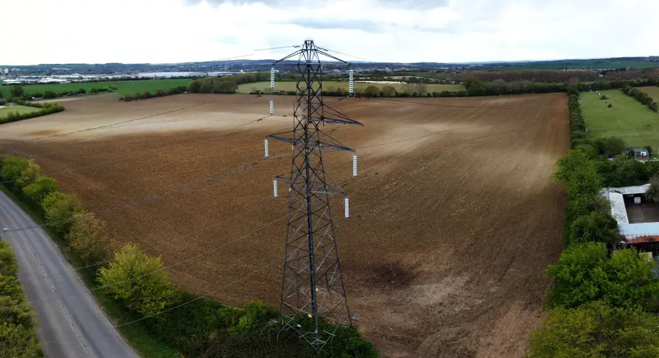
Corridor surveys with terrain, features and obstacles defined according to the scope. Deliveries organised by sections to make the engineering work easier.
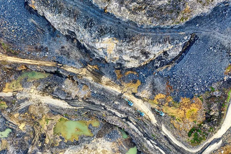
Surveys of large sites, records of the state of the works and volume calculations. Information to plan actions and compare changes between campaigns.
Other sectors Agriculture Glacier mapping: ice velocity and glacier change All sectors
A large site, a corridor and a construction project under monitoring. Clients are anonymous for confidentiality; each project sheet gives the sector, the scope and the deliverables.
 Illustrative image
Orthophoto · DTM · Contour lines
See the project sheet Illustrative image Classified point cloud · Corridor DTM · Profiles
See the project sheet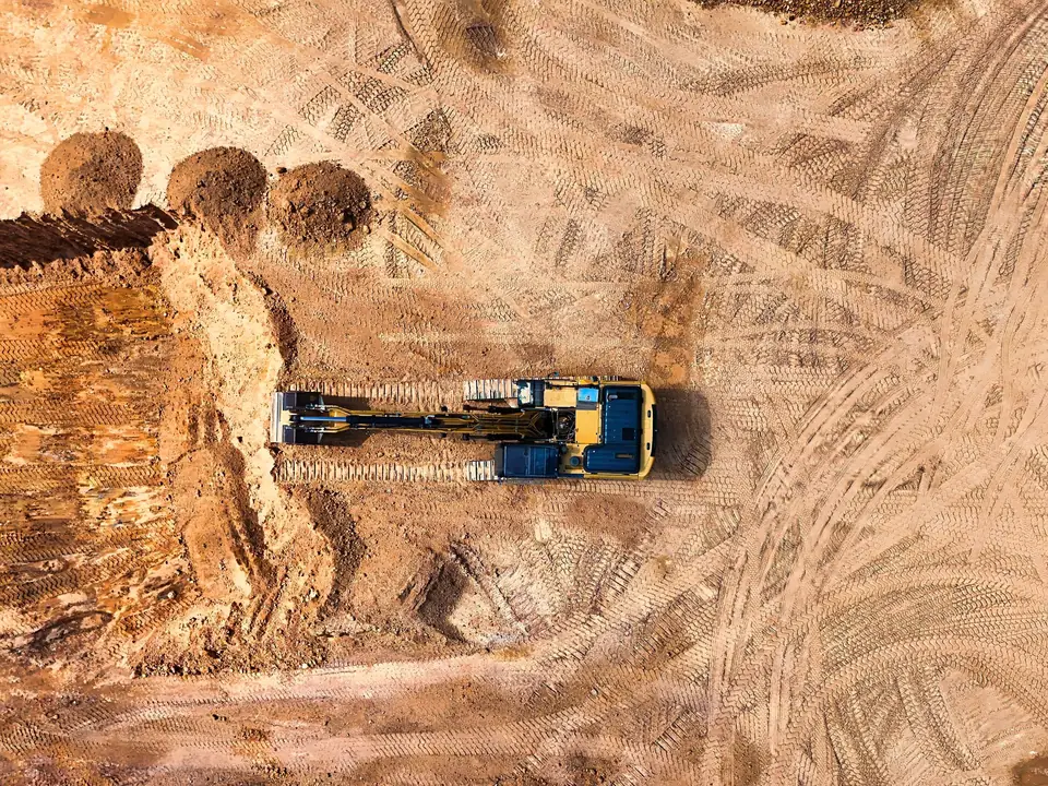 Illustrative image
DTM · Volume calculations · Orthophoto
See the project sheetBefore planning the capture, we review the site, how the data will be used and when you need it. With your team we define the accuracy, deliverables and formats to prepare a proposal that fits the project.
We review the site, how the data will be used and when you need it. With your team we agree the accuracy, deliverables, formats and reference system.
We choose the capture method for the terrain and the result: LiDAR, photogrammetry or field survey with GNSS RTK and total station. We measure ground control points and checkpoints.
We adjust to the ground control points, classify the point cloud and check the result against independent points that are not used in the adjustment.
We deliver the agreed files (GeoTIFF, LAS or LAZ, DWG, SHP) with the quality control report and review the delivery with your team.
We agree the reference system, the layer structure and the formats before starting. The delivery includes the results, such as the orthophoto or the digital surface model (DSM), and the documentation of the quality control carried out. We go through any questions with your team so that the data can be used.
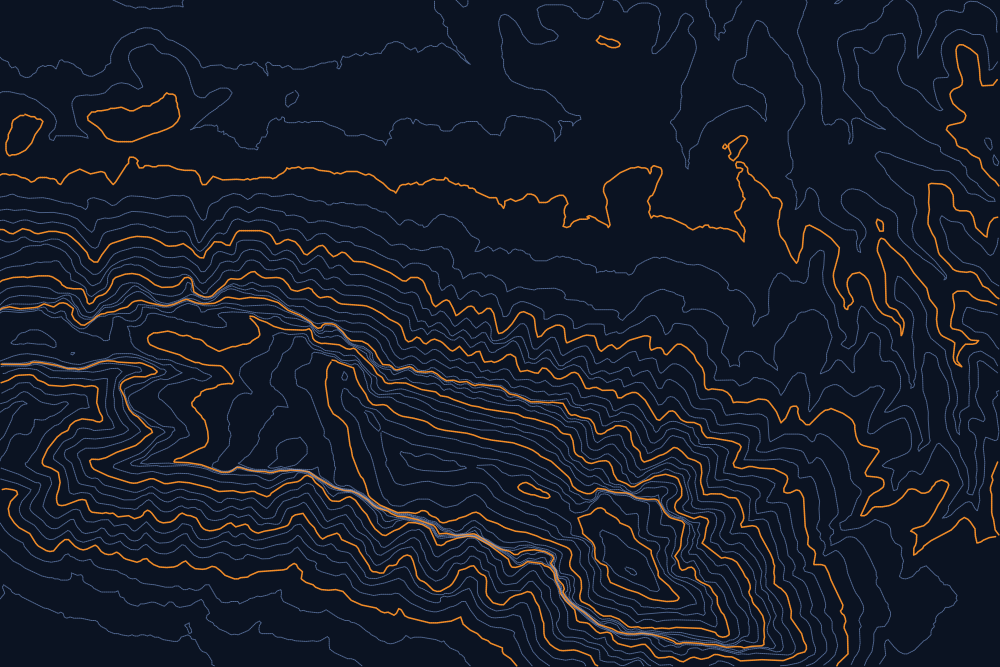
Sample · DTM · Montgó (Xàbia)
Contour lines every 25 metres over the Montgó massif, taken from the IGN 5 m digital terrain model (MDT05, open data). It is a sample, not client work: in a project survey the grid is in decimetres and contours can be every half metre or less if the project needs them. Move the pointer over the sheet: the crosshair reads the UTM coordinates (ETRS89) and the real elevation of each point.
The Valencia region, Murcia and Albacete, from our office in Xàtiva.
Projects across Spain and Europe. We plan field campaigns and phased deliveries according to the size and programme of each project.
Vicent Doménech, technical lead. You can call or email him to go through the technical requirements of the project.
To start, the location, the approximate extent (boundary, area or length), what you need the data for and the target date are enough. A plan or the specification helps. The proposal sets out the scope so that you can compare it: area or alignment, products, level of processing, site visits, travel and reviews.
The accuracy is agreed with your team before the capture, according to how the data will be used, together with the reference system. We measure ground control points and independent checkpoints with GNSS RTK, and the delivery includes a report with the error measured in X, Y and Z on the checkpoints.
On corridors and large sites we plan the capture and the delivery by sections or milestones when the project requires it. If there is a specification, the proposal follows its accuracy, format and documentation requirements, and if a requirement needs clarifying we raise it before starting.
Vicent Doménech, fita’s technical lead, is your contact throughout the project. We agree site access and field dates with you, and fita handles the flight authorisations as an operator registered with AESA (Spain’s Aviation Safety Agency). If the scope changes, we review it together and update the proposal before continuing.
We review the delivery with your team and answer the questions needed to use it. If you find an issue, send us the file and the area by email or phone: we check it against the field data and the quality control report.
The ones your team uses, agreed before starting: GeoTIFF or ECW for orthophotos and raster models, LAS or LAZ for point clouds, DWG or DXF for contour lines and profiles, SHP or GeoPackage for GIS layers and PDF for reports. Reference system ETRS89 / UTM unless another is requested.
fita is a registered operator with AESA and handles the authorisations each area requires (controlled airspace, proximity to infrastructure). The client provides access to the site.
You can send us the site boundary, a plan or the specification you have. We will review the scope and tell you what information we need to prepare the proposal. If the deliverables are not defined yet, we can work them out in a first conversation.
We will reply within one or two working days to review the scope and confirm when you can expect the proposal.