Method, technology and quality control
We choose the capture method for the terrain and the result you need: LiDAR where there is vegetation, photogrammetry where the image matters, thermal and multispectral when the data is radiometric. And always ground control points and checkpoints measured in the field: without them there is no accuracy to claim.
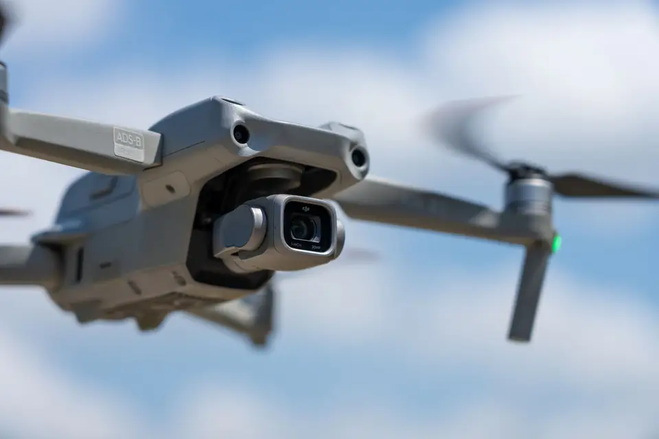
We start by understanding what you need to solve
Before planning the capture, we review the site, how the data will be used and when you need it. With your team we define the accuracy, deliverables and formats to prepare a proposal that fits the project. If there is a specification, we start from it; if the deliverables are not defined yet, we work them out in a first conversation.
Scope, capture, quality control and delivery
The same method on every project, with an independent check before delivery.
- 01
Scope
We review the site, how the data will be used and when you need it. With your team we agree the accuracy, deliverables, formats and reference system.
- 02
Capture
We choose the capture method for the terrain and the result: LiDAR, photogrammetry or field survey with GNSS RTK and total station. We measure ground control points and checkpoints.
- 03
Quality control
We adjust to the ground control points, classify the point cloud and check the result against independent points that are not used in the adjustment.
- 04
Delivery
We deliver the agreed files (GeoTIFF, LAS or LAZ, DWG, SHP) with the quality control report and review the delivery with your team.
What we capture with
- RTK
DJI Matrice 400 drone
Industrial platform with RTK positioning for long flights over large sites and corridors.
-
 cm
DJI Zenmuse L3 LiDAR sensor
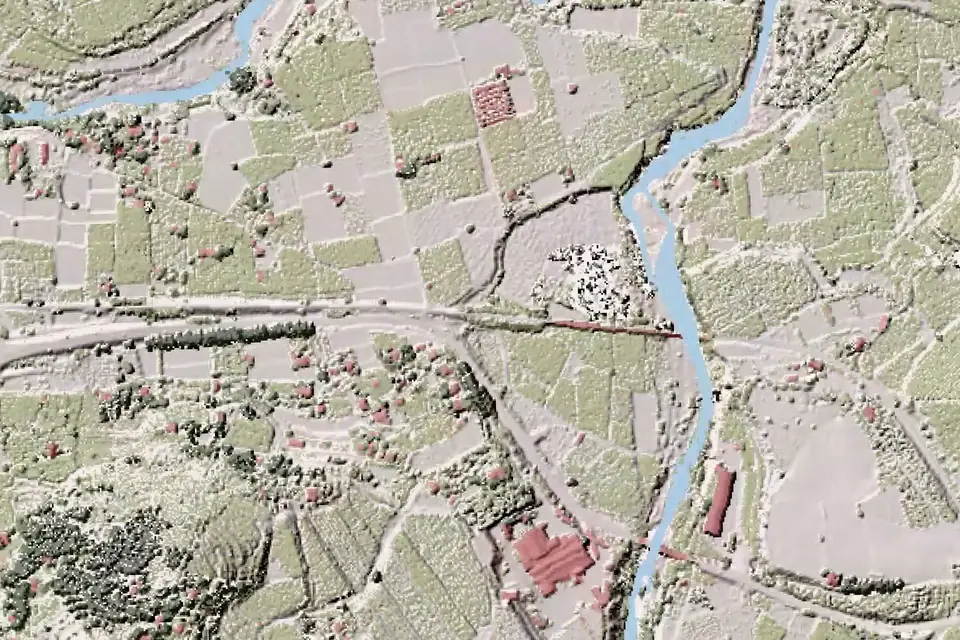
Multiple returns help record the ground through gaps in the vegetation. We classify the ground points and check the coverage obtained.
-
 cm
Metric RGB camera
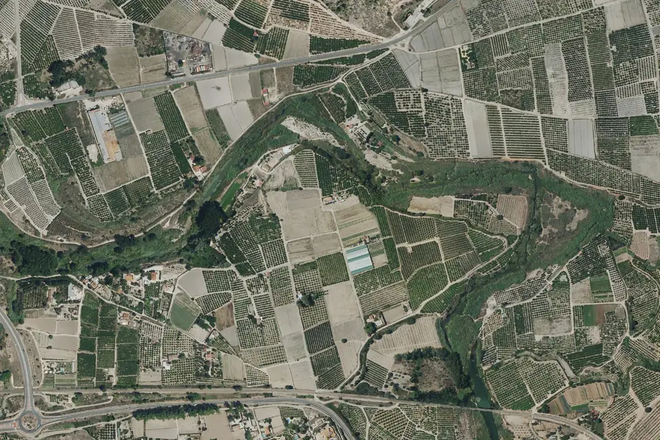
Photogrammetry with known calibration for orthophotos, DSMs and 3D models. The GSD (pixel size) is chosen for the level of detail the project needs.
-
 NDVI · ΔT
Multispectral and thermal cameras
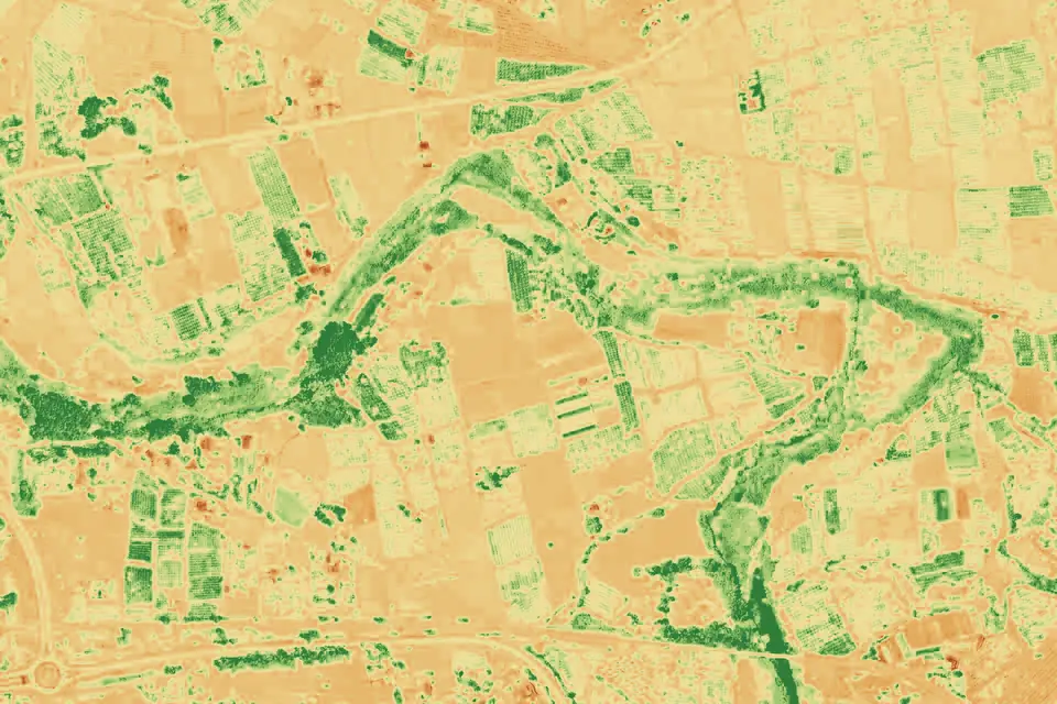
Vegetation indices for agriculture with the multispectral camera, and radiometric thermography with the DJI Zenmuse H30T for inspecting solar plants and power lines.
-
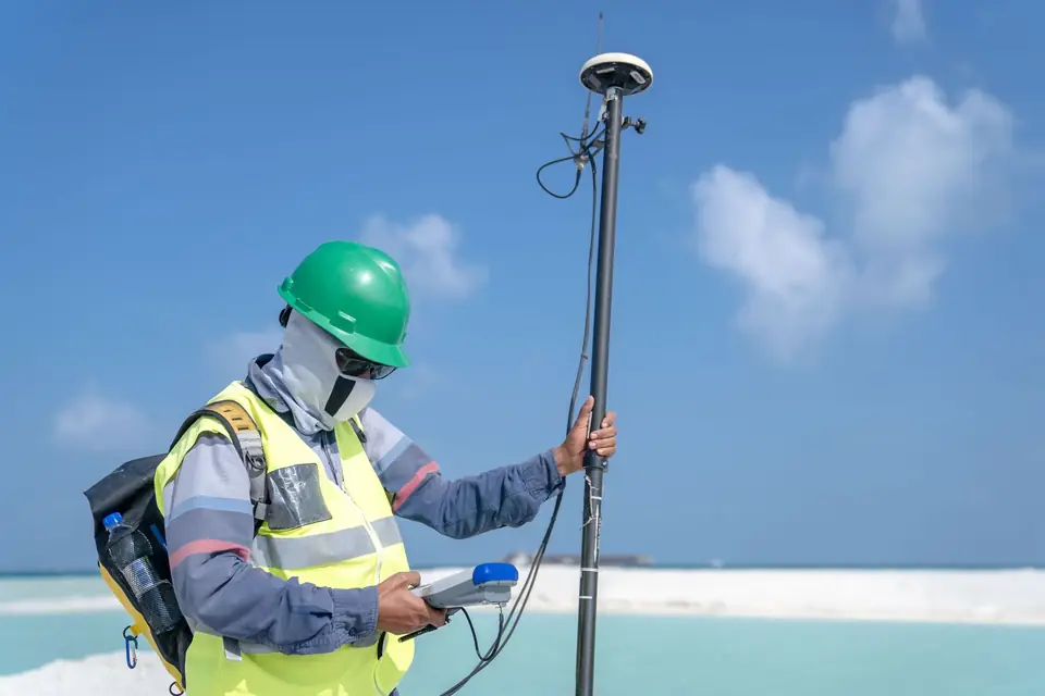 mm/cm
GNSS RTK
Ground control points and checkpoints with millimetre and centimetre accuracy. They adjust and validate every survey.
-
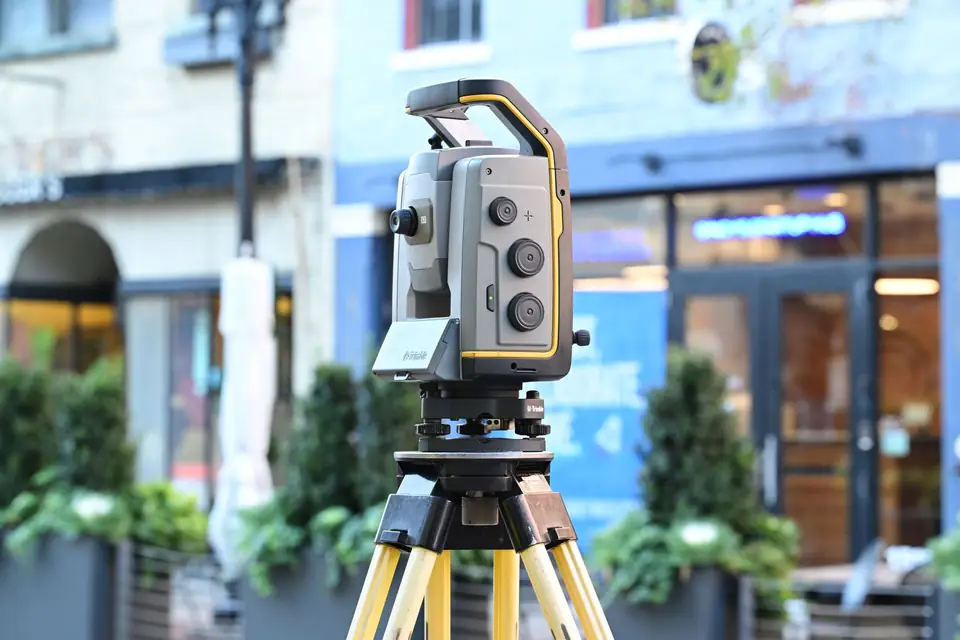 mm
Total station
Millimetre measurements of levels, axes and alignments where the drone is not enough: setting out and densification.
What “centimetre accuracy” means
In drone mapping, three different things are often mixed up. GSD is the size of a pixel on the ground: it is resolution, not accuracy. At 2 to 5 cm/px you can tell kerbs, manholes and joints apart, but a 2 cm/px orthophoto with poor ground control can be shifted by decimetres. Relative accuracy is the internal consistency of the model: two nearby points keep their true distance. Absolute accuracy is what matters for design: how far each point is from its true coordinate in the project reference system (ETRS89 / UTM with orthometric heights, unless another is requested).
Absolute accuracy does not come from the drone alone. It is achieved by measuring ground control points with GNSS RTK, using them to adjust the photogrammetric block or the LiDAR point cloud, and checking the result against other points that were not used in the adjustment. When we give a figure such as “2 to 5 cm”, it is a typical value expressed as root mean square error (RMSE), on open ground or well-defined surfaces, checked on those independent points. Under dense vegetation or on surfaces with little texture it can be larger. The accuracy of each project is agreed in the proposal and documented in the quality control report.
What the quality control documents
- The reference system and height model used.
- The ground control points used in the adjustment and the independent checkpoints, measured with GNSS RTK.
- The error measured on the checkpoints: RMSE in X, Y and Z.
- For LiDAR, the classification of ground points and the coverage obtained under vegetation.
- Total stationaxes, setting out, densification
- GNSS RTKground control points and checkpoints
- RTK droneposition of each capture
- Adjusted LiDAR and photogrammetrytypical RMSE on open surfaces
Questions about equipment and accuracy
How accurate is the DJI Matrice 400 for mapping?
The drone’s RTK positioning places each photo or pulse within centimetres, but the final accuracy of the product is set by the ground control points and checkpoints measured on site with GNSS RTK. With that adjustment, the typical error (RMSE) is 2 to 5 cm horizontally and vertically on open surfaces, checked on independent points.
LiDAR or photogrammetry?
LiDAR when there is vegetation (multiple returns help record the ground through its gaps) or when the object has little texture (power lines, structures). Photogrammetry when the image matters: orthophotos, textures, photorealistic 3D models, open surfaces. They are often combined on the same project.
Why use a total station if there is a drone?
For what the drone cannot see or cannot measure accurately enough: axes, setting out, interiors, points under roofs and densification in critical areas. Its measurements are accurate to the millimetre and also serve as an independent check on the drone survey.
What is GSD?
Ground sampling distance: the size each image pixel represents on the ground (for example, 2.5 cm/px). It depends on the camera and the flying height. The smaller the GSD, the more detail, but also more photos and more flight and processing time for the same area.
How is the accuracy of a delivery checked?
We keep back GNSS-measured points that are not used in the adjustment and compare their coordinates with those of the final product. Each delivery report gives the root mean square error in X, Y and Z on those checkpoints.
Tell us where the project is and what you need to solve
You can send us the site boundary, a plan or the specification. We will reply within one or two working days to review the scope and confirm when you can expect the proposal.