Drone mapping and surveying services
Tell us what you need to solve and we will define how to measure it: LiDAR, photogrammetry, thermography, multispectral or conventional surveying in support. Every service ends in mapping ready for design.
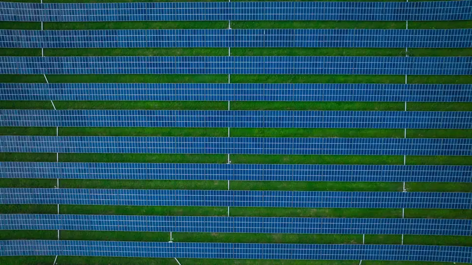
Drone photogrammetry
Orthophotos, DSMs, point clouds and 3D models from photogrammetric flights with a metric RGB camera.
See service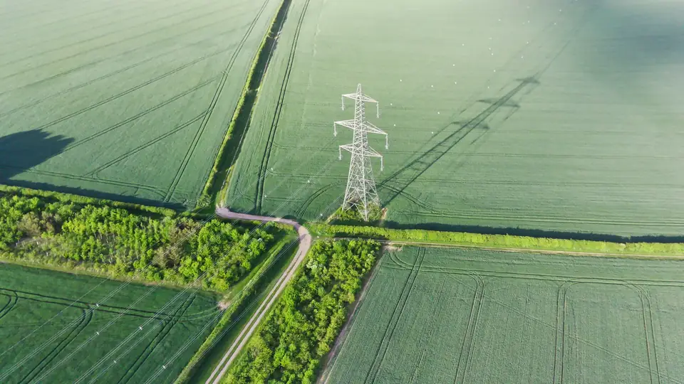
Drone LiDAR survey
Classified point cloud and a DTM from the ground points, also among vegetation, with a LiDAR sensor on board the drone.
See service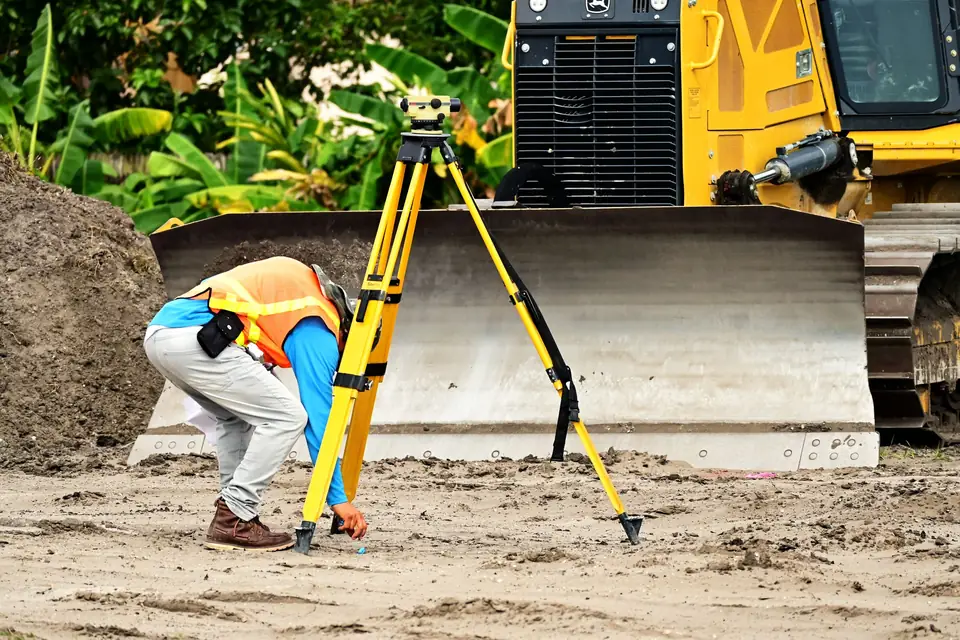
Drone surveying
Complete topographic surveys: drone, GNSS RTK and total station, with a layered survey plan and derived mapping.
See service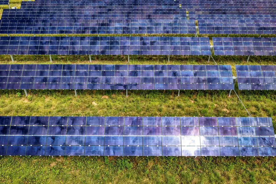
Drone thermal inspection
Thermal inspection of solar PV plants, roofs and power lines, with every anomaly located on the site plan.
See service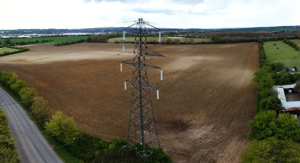
Power line inspection with drones
Corridor LiDAR, detailed photography of each tower and thermography of connections on high-voltage power lines.
See service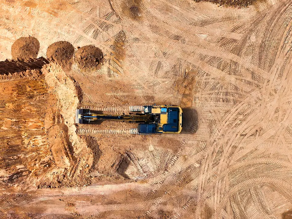
Construction monitoring with drones
Comparable regular flights: orthophoto, DTM and volumes between surveys to track progress and earthworks.
See service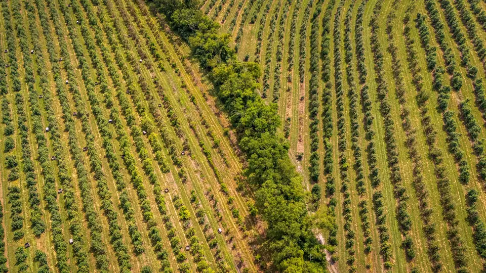
Precision agriculture with drones
Multispectral flights: NDVI, water stress, tree counts and management zones to guide irrigation and fertilisation.
See service
GIS platform
Web GIS viewer with your orthophotos, DTMs, contour lines and inspections by date, accessible from any browser.
See serviceFrequently asked questions
What information do you need to prepare a proposal, and what is included?
To start, the location, the approximate extent (boundary, area or length), what you need the data for and the target date are enough. A plan or the specification helps. The proposal sets out the scope so that you can compare it: area or alignment, products, level of processing, site visits, travel and reviews.
How do you agree the accuracy and document how it was checked?
The accuracy is agreed with your team before the capture, according to how the data will be used, together with the reference system. We measure ground control points and independent checkpoints with GNSS RTK, and the delivery includes a report with the error measured in X, Y and Z on the checkpoints.
Can you deliver in phases or work to the contractor’s specification?
On corridors and large sites we plan the capture and the delivery by sections or milestones when the project requires it. If there is a specification, the proposal follows its accuracy, format and documentation requirements, and if a requirement needs clarifying we raise it before starting.
Who coordinates site access, field dates and changes of scope?
Vicent Doménech, fita’s technical lead, is your contact throughout the project. We agree site access and field dates with you, and fita handles the flight authorisations as an operator registered with AESA (Spain’s Aviation Safety Agency). If the scope changes, we review it together and update the proposal before continuing.
Tell us where the project is and what you need to solve
You can send us the site boundary, a plan or the specification. We will reply within one or two working days to review the scope and confirm when you can expect the proposal.