Survey plan · DTM · Contours
Drone surveying
Drone surveying combines aerial capture with conventional field measurement. The drone captures the entire surface; GNSS RTK and the total station fix the accuracy. Topographic plan, DTM, contour lines and profiles in the official reference system.
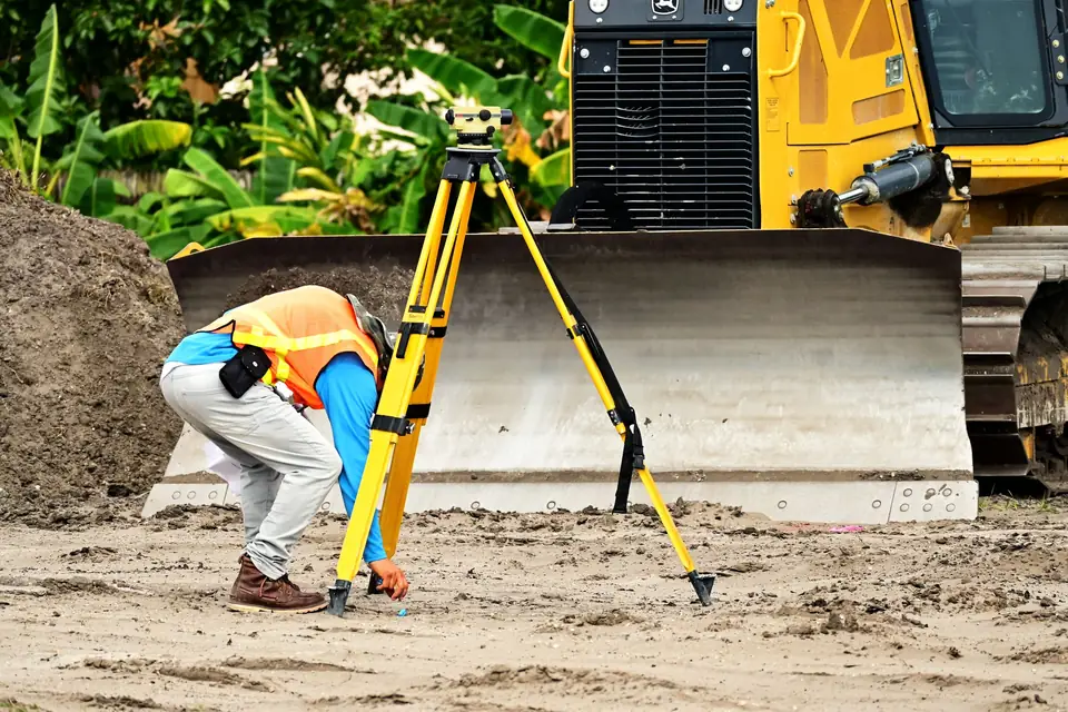
What is drone surveying?
Drone surveying combines aerial capture (photogrammetry or LiDAR) with conventional field measurement.
The drone captures the entire surface. GNSS RTK and the total station fix the control points and the details that require millimetre accuracy.
The result is a complete topographic survey, georeferenced and delivered in the official reference system (ETRS89 UTM).
Compared with conventional surveying, it covers large areas with continuous detail, not just the points measured on foot.
How we carry out a topographic survey with a drone
We study the brief: area, accuracy, deliverables and final use (design, construction, planning).
We set out and measure ground control points with GNSS RTK in the official reference system. Where needed, we use a total station.
We fly a DJI Matrice 400 with a metric RGB camera or a LiDAR sensor, depending on the terrain and the vegetation.
On foot we complete the features the drone cannot resolve: manholes, utilities, kerbs, covered areas.
We process, adjust and draw the topographic plan with the symbology and layers the project requires.
Topographic survey deliverables
Plans are delivered in DWG or DXF with separate layers, ready for design work.
The derived mapping (DTM, contour lines, profiles) comes from the same flight, with no additional fieldwork.
- Layered topographic plan in DWG or DXF
- DTM and contour lines at the project contour interval
- Georeferenced orthophoto
- Point cloud in LAS or LAZ
- Longitudinal profiles and cross-sections
- Control station descriptions and accuracy report
Drone surveying vs conventional surveying: accuracy and control
In a well-controlled drone survey, typical accuracy is 2 to 5 cm, expressed as root mean square error (RMSE) on open ground or well-defined surfaces, in the project reference system (ETRS89 / UTM, with orthometric heights unless another reference is requested).
It depends on the sensor, the GSD, the ground control and the vegetation. The accuracy for each project is agreed in the proposal and documented in the control report.
Features that require millimetre accuracy (control stations, setting out, structural monitoring) are measured with a total station.
It is checked against independent checkpoints that are not used in the adjustment, and we deliver the residuals.
The advantage of aerial surveying is coverage: hundreds of points per square metre compared with a few points per hectare in a conventional survey.
What drone surveying is used for: projects and sectors
Topographic surveys of plots for solar PV plants and wind farms.
Base mapping for residential developments, industrial estates and municipal planning.
Surveys of road and railway alignments.
Baseline surveys and monitoring of civil works, quarries and earthworks.
Parcel and boundary plans. If the survey ends in the technical documentation for the Cadastre and Land Registry (GML files, graphic representation, segregations), that work is handled by Clotoides, fita's sister surveying company.
We are surveyors based in Xàtiva (Valencia) and work throughout the Valencia region (Comunitat Valenciana) and the rest of Spain and Europe.
How much does drone surveying cost?
The price depends on the area, the level of detail required, the vegetation (photogrammetry or LiDAR) and the deliverables.
Over large areas, the drone usually reduces field time and cost compared with conventional surveying.
For a quote, send us the boundary and what the survey will be used for.
Questions about Drone surveying
Does a drone survey replace the surveyor?
No. The drone is one more tool for the surveyor. Field control, verification and interpretation of the plan are still the work of a qualified surveyor.
Which coordinate system do you deliver in?
In ETRS89 UTM, the official reference system in Spain, with orthometric heights. If the project uses a local system, we transform the data to it.
How accurate is drone surveying?
For the aerial part, a typical RMSE of 2 to 5 cm on clear surfaces, with ground control points measured with GNSS RTK and checked against independent checkpoints. Critical features are measured with a total station, to millimetre accuracy.
Can it be used for setting out on site?
The drone does not set out. Setting out is done with GNSS RTK or a total station. The drone survey is used for the baseline, monitoring and measurement of the works.
How long do you take to reply and to deliver?
We reply within 1 to 2 working days. Once the visit has been agreed, delivery takes about 7 working days. The reference time for this service is 3 to 10 working days depending on the area, and the timescales for each project are set out in the proposal.
Do you only work in Valencia?
We are based in Xàtiva and work in Valencia, Alicante and Castellón. We also take on projects in the rest of Spain when the area or the type of work justifies it.
Related products and sectors
- Drone orthophotos
- Digital terrain model (DTM)
- Digital surface model (DSM)
- Contour lines
- LiDAR and photogrammetric point clouds
- Longitudinal profiles and cross-sections
- Drainage network and catchments
- Volume calculations and stockpile volumes
- Renewable energy: solar PV and wind
- Industrial parks and urban planning
- Roads and railways
- Civil works and quarries
Tell us where the project is and what you need to solve
You can send us the site boundary, a plan or the specification. We will reply within one or two working days to review the scope and confirm when you can expect the proposal.