Telecommunications operator
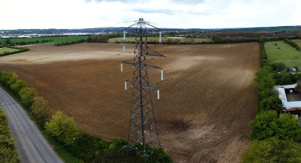
High-voltage power lines mapped with LiDAR for a telecoms roll-out
Drone LiDAR flights over high-voltage power line corridors to capture the geometry of towers and conductors and support the subsequent development of the network.
Anonymous client for confidentiality: the type of company, the sector and the scope are given.
Tell us where the project is and what you need to solve
You can send us the site boundary, a plan or the specification. We will reply within one or two working days to review the scope and confirm when you can expect the proposal.