Services and infrastructure company
DTM from topographic measurements for a construction project
Digital terrain model from topographic measurements with a drone and GNSS for monitoring a construction site and controlling its volumes.
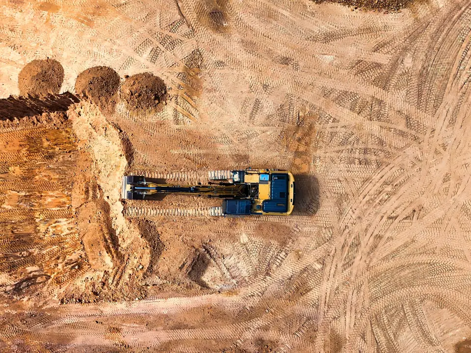
Anonymous client for confidentiality: the type of company, the sector and the scope are given.
Tell us where the project is and what you need to solve
You can send us the site boundary, a plan or the specification. We will reply within one or two working days to review the scope and confirm when you can expect the proposal.