Drone regulations in Spain: what to check before you hire
Drone regulations in Spain for technical work: what the flying company must comply with, which documents to ask for and when authorisation is needed.
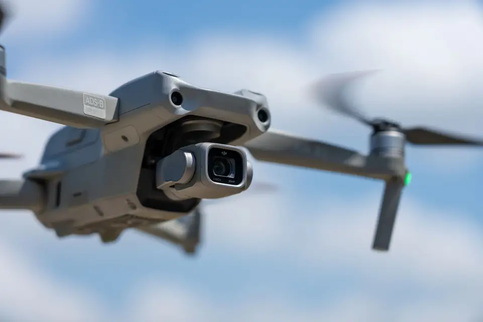
You are about to commission a drone survey for a plot, a power line or a building site, and someone in your company asks whether the company that flies is “fully compliant”. Nobody is sure what that means. If the flight goes ahead without the permit it needed, the problem is not only the pilot’s: it can stop the work, delay the delivery or leave in doubt the data your engineering team needs.
This article summarises the drone regulations in Spain that affect technical work, what the flying company must comply with and which documents you can ask for before signing. It does not replace a consultation with the aviation authority: the rules change and every operation has its own particulars.
In short: in Spain, professional drone flights are governed by Implementing Regulation (EU) 2019/947 and its national development, and are supervised by AESA (Spain’s Aviation Safety Agency). The company must be registered as an operator, have trained pilots and insurance, and fly within the category that applies: open, specific or certified. If the area or the type of flight requires it, it also needs prior authorisation or coordination.
The problem: the permit depends on the flight, not on the drone
Many people think the rules depend on the drone model. In fact they depend on what is done with it: where it flies, at what height, how far from people and whether the pilot can see the drone at all times.
That is why two surveys with the same equipment can have different requirements. Measuring an isolated rural plot is not the same as mapping an industrial estate next to a town, or inspecting a power line several kilometres long.
Planning: which framework applies to technical work
Since 2021 the basic regulation has been European. Implementing Regulation (EU) 2019/947 defines three categories according to the risk of the operation, and Delegated Regulation (EU) 2019/945 sets the requirements for the aircraft. Spain complements them with its own national rule, Royal Decree 517/2024, which replaced the earlier 2017 regime. The authority that supervises and authorises is AESA.
The three categories, explained for the client:
- Open. Low-risk operations with fixed limits: the pilot keeps the drone in sight, flies at a maximum of 120 metres above the ground and keeps a distance from people. It does not require prior authorisation from AESA, but the operator and the pilot must meet their requirements.
- Specific. Operations that go beyond the limits of the open category: for example, flying beyond the pilot’s line of sight or close to inhabited areas. It requires a risk assessment and an authorisation from AESA, or an operational declaration when the operation matches a standard scenario.
- Certified. High risk, similar to crewed aviation. It is not usual in mapping work.
Many surveys in open country fit the open category. Long corridors, such as a high-voltage line or a road route, and work next to built-up areas may lead to the specific category. The analysis of each operation decides.
Execution: what the flying company must comply with
For technical work, there are five blocks worth checking. Each one answers a question that your legal or procurement department can ask.
Registration as an operator
Anyone providing services with a drone must be registered as an unmanned aircraft system (UAS) operator with AESA. That registration gives an operator number that must appear on the drone. Ask for it in writing.
Pilots with accredited training
The pilot must hold the training that the category requires. In the open category it is accredited with AESA certificates (A1/A3 or A2, depending on the subcategory). In the specific category, with the training and competence set by the operation’s authorisation.
Civil liability insurance
Drone operations require civil liability insurance in force that covers the activity. Ask for the certificate and check that it is valid and covers professional work, not only recreational use.
Airspace authorisation or coordination
If the flight is in the specific category, ask for the authorisation or the operational declaration that covers it. And whatever the category, there are areas where flying is restricted or needs coordination: near airports and aerodromes, in controlled airspace, in military zones or over sensitive infrastructure. The official information on these geographical zones is on the ENAIRE portal and with AESA. Make clear in the contract who handles each coordination and how long it takes.
Data protection and privacy
If the flight may capture images of identifiable people, homes or vehicles, data protection law applies. In mapping and surveying this is usually solved by planning the flight and processing the data so that nobody is identified. It is worth putting it in writing.
Illustrative example: an industrial estate next to a town
Illustrative example, not a real case. A developer needs the mapping of an industrial estate under development, on the edge of a town in the Valencia region (Comunitat Valenciana), with a minor road along one side and a sports airfield a few kilometres away.
- The developer asks the company to state the category of the operation and attach its operator registration, the pilots’ certificates and the insurance.
- The company checks the geographical zones around the plot and notices the nearby airfield. It raises the coordination needed before setting the date.
- The contract states who handles each permit and how it affects the schedule.
- The flight is planned so as to avoid overflying the road with traffic and the nearby inhabited buildings.
- Once the flight is done, the data is delivered together with a record of the operation, useful if the owner or its insurer asks for it.
The result: no surprises on the day of the flight, and the project schedule includes the procedures that can be foreseen.
Solution: what to ask for in the proposal and how to avoid surprises
Before accepting a drone survey proposal, you can ask for this minimum package:
- UAS operator registration number with AESA.
- The category in which the operation will be carried out and, if it is specific, the authorisation or declaration that covers it.
- Training certificates of the pilots who will fly.
- A civil liability insurance certificate in force.
- Whether the area has airspace restrictions and who handles the coordination.
- Which part of the schedule depends on external procedures.
fita, based in Xàtiva with engineering projects in Spain and Europe, works as a UAS operator registered with AESA. If you have a plot, a corridor or a site where airspace is a concern, tell us about it and we will scope what is needed before proposing a schedule and a scope.
Frequently asked questions
Is a permit needed to fly a drone on a surveying job?
It depends on the operation. In the open category no prior authorisation from AESA is requested, but the operator must be registered, the pilot trained and the limits respected. If the flight goes beyond those limits or the area has restrictions, prior authorisation or coordination is needed.
What is the difference between the open and the specific category?
The open category has fixed limits (for example, flight within the pilot’s line of sight and up to 120 metres above the ground) and does not require authorisation from AESA. The specific category covers operations that go beyond those limits and requires a risk assessment and an authorisation or operational declaration.
Who supervises drone regulation in Spain?
AESA supervises operators and pilots. Information on the areas where flying is restricted is on the ENAIRE portal and with AESA. For a specific doubt, the authority is always the reference.
Who handles the permits: the company or the client?
Usually the company that flies handles them, but it is worth stating it in the proposal, together with the time they may add. If the flight is over a third party’s installation, the owner may have to give its consent.
For surveying or mapping work, the drone surveying service explains how we plan the capture, and for long corridors, the power line inspection with drones service details how the flight is approached.
Published by fita, drone mapping and surveying based in Xàtiva (Valencia, Spain).