Mapping ·
Digital twin of the terrain: what it is and what it is not
What a terrain digital twin is, which data it is built from, what it does on a site or plant and what it does not promise. How to specify one properly.
You have been told that the project needs “a digital twin”. Nobody in the meeting knows exactly what that means, and the quotes that arrive range from an attractive 3D model to a platform with real-time sensors. Before signing anything, it helps to know what you are buying and what you are not.
This article explains what a digital twin of the terrain is, which data it is made of, what it does on a construction site, a plant or an infrastructure, and where its promise ends.
The problem: everyone understands something different
The expression “digital twin” is used for almost everything. For a site team it is the 3D model of the plot. For an infrastructure operator it is a replica fed by sensor data. For a software vendor it is a complete management platform.
That ambiguity costs money. A visual model is commissioned when a measurable one was needed, or a platform is paid for when a well georeferenced, regularly updated survey would have been enough. The question “what is a digital twin” can be answered in two sentences; the rest of this article helps you decide what you need.
What a digital twin of the terrain is, in two sentences
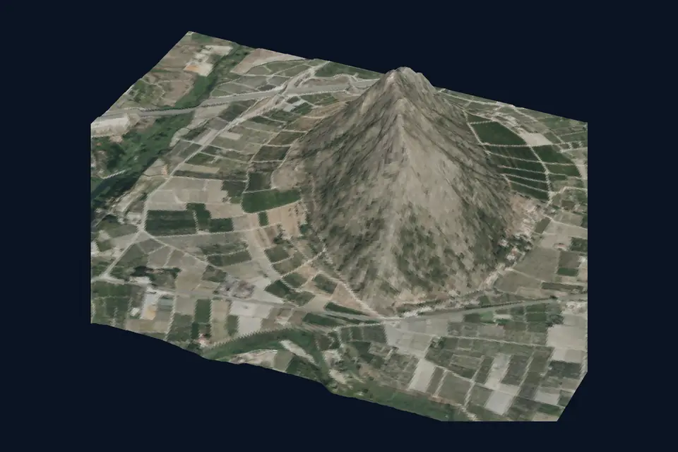
It is a digital replica of the real state of a terrain or an installation, built from measurements rather than drawings, which can be consulted and measured. It stays useful because it is updated: a capture from today with no other one a few months later is a photograph, not a twin.
It has three ingredients:
- Measured geometry. A point cloud or a 3D model obtained with LiDAR or photogrammetry, in official ETRS89 coordinates.
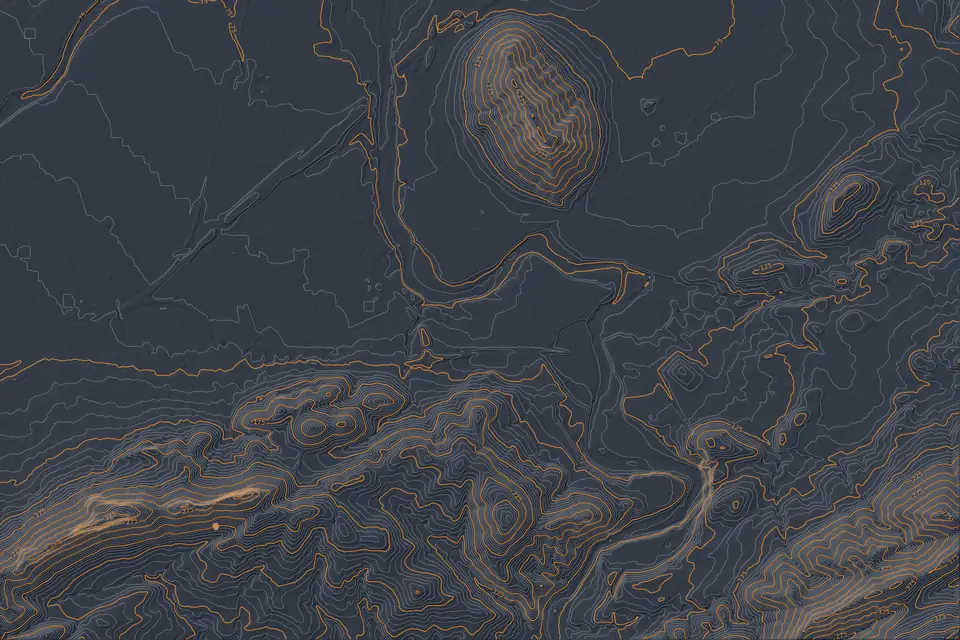
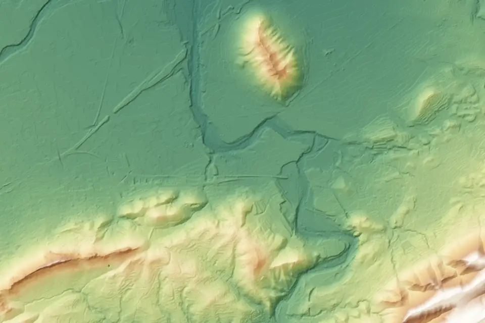
- Derived layers. Orthophoto, DTM (digital terrain model, the ground without buildings or vegetation), DSM (digital surface model, with buildings, vegetation and stockpiles), contour lines and, if needed, volume calculations.
- A place to consult it. A web GIS platform or another viewer where the team can see, measure and compare without installing heavy software.
If any of the three is missing, what you have is something else: a point cloud on a disk, a drawing or a presentation.
What is at stake
Three decisions depend on getting the scope right:
- Money. A model that cannot be measured is no use for certifying or setting out. A platform with functions nobody uses is still paid for.
- Schedule. If the model is not updated, two months into the works it no longer matches reality and the team goes back to asking for drawings.
- Responsibility. If the model is used to decide (earthworks, drainage, alignments), it must carry its accuracy documented, not just look good.
What it is: what the measured terrain gives you
With a good capture, the terrain twin allows you to:
- Consult the current state from anywhere, measuring distances, elevations, areas and slopes.
- Compare states. Overlay today’s campaign with the one from three months ago to see what has changed: an excavation, a stockpile, an embankment, an area that has become waterlogged.
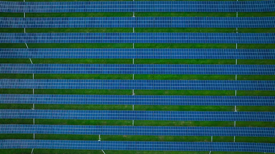
- Prepare the project. Engineering teams start from the DTM and the contour lines instead of surveying each doubt by hand. On a solar plant or an industrial park, that means designing on the real terrain.
- Coordinate. Developer, contractor and engineering look at the same data, with the same date and the same reference system.
- Archive the state at a given date. When there is a discrepancy, there is a dated measurement to go back to.
What it is not
This is the part that quotes rarely make clear.
- It is not a real-time model by itself. The measured terrain is updated with each flight campaign. If you need live data from sensors or machinery, other systems provide it and it is integrated separately.
- It is not a BIM model of a building. A surface model captures the shape of what can be seen from the air. It does not tell a structural wall from an enclosure and it does not include interior services.
- It is not more accurate because it is 3D. Accuracy depends on how it was measured: sensor, GNSS RTK support, control points and checking against independent points. A typical value is 2 to 5 cm (RMSE, on open ground, with independent checkpoints). Image resolution, the GSD (ground sampling distance), is not the same as accuracy.
- It does not see everything. Under dense vegetation, the ground is better recorded with LiDAR: multiple returns help to record the terrain through gaps in the vegetation. We classify the ground points and check the coverage obtained. With photogrammetry, the ground under trees is interpolated and not measured.
- It does not decide for you. It is reliable data on which the technical team decides.
Execution: how it is built
The usual order of work is this:
- Define the use. Which decisions the team will make with the model and how often it needs updating.
- Plan the capture. A LiDAR flight, photogrammetry or both, depending on the vegetation, the area and the detail required. Control points measured with GNSS RTK.
- Process. Georeferenced point cloud, ground classification, DTM, DSM, orthophoto and, where relevant, a textured 3D model.
- Check. Comparison against independent checkpoints and a report with the accuracy obtained.
- Publish. The layers are loaded into a web GIS platform so that the team can consult, measure and download them.
- Repeat. Each later campaign is processed with the same criteria so that it is comparable with the previous one.
The key to step 6 is that all campaigns use the same reference system, the same control points and the same method. Otherwise, the differences you see may come from the method and not from the terrain.
Illustrative example: a solar plant under construction
This example is illustrative and does not correspond to a real fita project.
A developer is building a plant on a large plot in the Valencia region (Comunitat Valenciana). At the start it commissions a LiDAR and photogrammetry campaign to obtain the DTM, the contours and the orthophoto of the initial state. The engineering firm designs the earthworks on that DTM.
From time to time a lighter capture is repeated. The platform lets the owner, the contractor and the engineering firm open the same layers, measure what has been excavated and compare each section with the previous campaign. When an area does not match the design, it is seen on the map and not in an argument.
This does not replace setting-out surveys in the field or site supervision. It gives them a shared, dated map.
What you receive
- A classified point cloud, DTM and DSM in standard formats (LAS/LAZ, GeoTIFF).
- Orthophoto, contour lines and, if requested, profiles or volume calculations between campaigns.
- A 3D model of the areas that need one.
- Web access to the layers to consult and measure.
- A control report with the accuracy checked.
The accuracy and the timescales of each project are agreed in the proposal.
Frequently asked questions
Is a digital twin the same as a 3D model?
No. The 3D model is one part. The twin adds controlled measurements, working layers and a place to consult them, and it is updated over time.
Does it update itself?
The measured terrain is updated with each capture campaign. If you want frequent monitoring, a frequency is defined according to the project milestone or the dynamics of the site.
Can it be used to measure volumes?
Yes, by comparing two compatible surfaces within a defined area, for example a stockpile against an agreed base or two construction stages.
What does fita need to get started?
The boundary of the area, the intended use, how often it must be updated and the format in which the team wants to consult it. With that, the capture is defined.
If you need to decide what to ask for before others define it for you, tell us about your case. Drone photogrammetry captures the site and generates the model, and the web GIS platform is where the team consults and compares campaigns.
Published by fita, drone mapping and surveying based in Xàtiva (Valencia, Spain).