Mapping ·
Flood risk study: what topographic data to ask for
Flood risk study in Spain: what topographic data the modeller needs, at what resolution and accuracy, and what to ask for before commissioning the survey.
You have been asked for a flood risk study to obtain permission for a project next to a gully. The engineering firm that will sign it asks what topography you have, and the usual answer is “the site plan”. That is not enough: the hydraulic model needs the terrain of the channel, the banks and everything that diverts the water, and if something is missing the study stalls or has to be redone.
This article explains what topographic data a flood risk study needs, at what resolution and accuracy, and what to ask for before commissioning the survey.
In short: a flood risk study calculates where and how high the water would reach in a flood. It needs a detailed digital terrain model (DTM) of the channel and the site, with embankments, walls and crossings properly captured, and a checked vertical accuracy. The engineering firm signs the study; the survey provides the terrain.
The problem: a hydraulic model is only as good as the terrain it receives
A flood risk study is an engineering calculation: given a design flood flow, it simulates how water moves over the terrain and maps the area it occupies. The shape of the terrain is one of its two starting data sets. If the terrain is poor, the model returns a very detailed extent of terrain that does not exist.
This shows most in the gullies and dry riverbeds (ramblas) of the Valencia region (Comunitat Valenciana), where channels are short, the banks are full of terraces and walls, and a few centimetres of level difference decide where the water goes.
Typical situations in which the need arises:
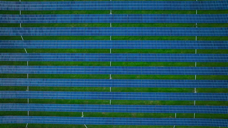
- A solar (PV) plant or industrial park next to a channel that must justify its layout.
- A development area crossed or bordered by a gully.
- A track or road that needs cross drainage.
- A scheme that wants to know which part of the site to avoid.
Planning: what to decide before flying
Before commissioning anything, three things should be agreed with the engineering firm that will model the water. What it asks for overrides any template.
- Which reach to cover. A study is not limited to the site: it needs the channel upstream and downstream, as far as the model requires. The engineering firm sets that reach.
- What public data already exists. Spain’s Ministry for the Ecological Transition (MITECO) publishes flood zone mapping for the studied reaches in the SNCZI viewer, and the CNIG distributes the MDT05 for the whole of Spain and, depending on coverage, finer PNOA-LiDAR products. They are a starting point. Their date, resolution and accuracy are compared with what the study requires.
- What needs surveying in more detail. The usual approach is a combination: public model for the large catchment and a dedicated survey for the channel reach and the site.
The risk of not deciding this beforehand is flying twice, when the modeller discovers that a cross-section or a bridge is missing.
Execution: what topographic data the study needs
The DTM of the channel and banks
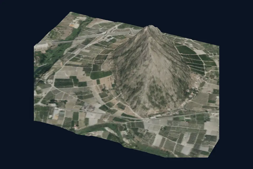
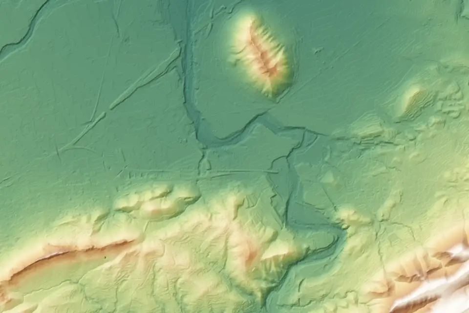
This is the main data set. The DTM is the digital terrain model, that is, the bare ground surface without vegetation or buildings. From the DTM come the cross-sections of a one-dimensional model or the calculation mesh of a two-dimensional one.
In channels with reeds or riverside woodland, LiDAR is the suitable technique: multiple returns help record the ground through the gaps in the vegetation. We classify the ground points and check the coverage obtained; under very dense vegetation that coverage can be sparse and is completed with field measurement. On open ground, photogrammetry may be enough.
The features that divert water
Water does not follow only the general slope: small features divert it. They have to be captured accurately:
- Embankments and flood defences, with their crest.
- Walls, terraces and fences.
- Embankments of tracks and roads.
- Ditches and drains.
So that the mesh does not smooth them out, breaklines are added: lines that mark the crest of an embankment, the edge of a channel or the toe of a slope, so that the model respects the abrupt change of slope.
Crossings and what the flight cannot see
Bridges, culverts and drainage openings condition the passage of water, and a drone cannot see their interior. They must be measured in the field with GNSS RTK or a total station: cross-section, invert level and road level. The same applies to the channel bed under water, which topographic LiDAR does not penetrate. If the channel carries water on the day of the flight, it is measured separately.
Resolution and accuracy
Resolution is the cell size of the DTM. With a mesh of several metres, a 60 cm wall or a ditch disappears inside the cell. A drone DTM, with cells of 10 to 20 cm, keeps them. The modeller then decides the size of their calculation mesh, but starts from terrain that does include them.
Accuracy is a different matter. The typical vertical accuracy of a drone DTM is 2 to 5 cm, expressed as root mean square error (RMSE) on open ground, in the project reference system (official ETRS89 coordinates, with orthometric heights). It is checked against independent checkpoints that are not part of the adjustment, and the accuracy of each job is agreed in the proposal and documented in the control report. On a floodplain, where a few centimetres decide where the water spreads, vertical accuracy matters as much as resolution.
Illustrative example: a gully next to an industrial site
Illustrative example, not a real case. An engineering firm is preparing the flood risk study for an industrial site next to a gully with reeds on one bank and an earth embankment on the other. A track crosses the channel through a culvert.
- The engineering firm states the reach to cover and the format its software uses.
- A network of control points and checkpoints is measured with GNSS RTK on both sides of the channel.
- The whole reach is flown with LiDAR. The ground is classified and reviewed by hand on the reed bank and the embankment.
- The culvert (section and levels) and the areas where ground coverage was sparse are measured in the field.
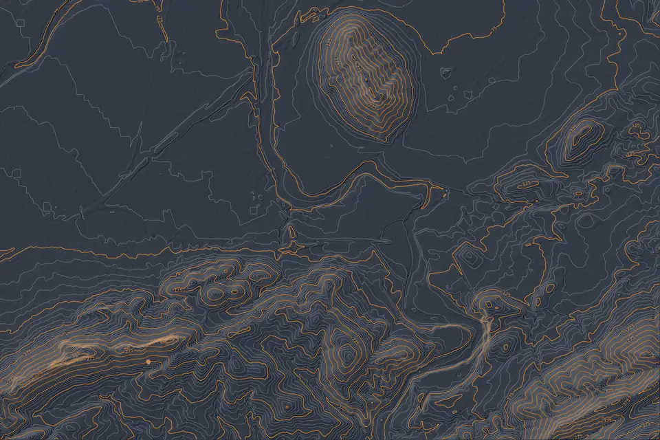
- The DTM is generated with breaklines on the embankment crest and the channel edges, together with the contour lines and the drainage network of the site.
- It is delivered with the control report, with the accuracy checked against the independent points.
Solution: what the engineering firm receives and what comes next
With that package, whoever signs the study can build the model without asking for more fieldwork: DTM, contour lines, breaklines, crossing data and documented accuracy, in the formats of their software (for example GeoTIFF, DWG or SHP).
If the study is in the Valencia region or anywhere in Spain and needs that terrain, tell us about the case at fita, based in Xàtiva. With the reach, the area and the format used by the engineering firm, the scope of the survey can be defined.
What a topographic survey does not do
fita does not carry out hydraulic studies: it does not calculate flows or water depths and does not delineate flood zones. It provides the terrain and its quality control. The study, with its hydrology and its model, is signed by the competent engineering firm or consultancy, and the final word on which zone applies lies with the river basin authority.
Frequently asked questions
What topographic data does a flood risk study need?
A detailed DTM of the channel and the site, the contour lines, the features that divert water (embankments, walls, road embankments) and the dimensions of the crossings. All with a checked vertical accuracy and in the project reference system.
Is the public IGN DTM enough for a flood risk study?
It depends on the study. For the catchment and preliminary analyses it is usually enough. For the channel reach and the site, where walls, embankments and a few centimetres of level difference matter, compare its date and accuracy with what is needed and consider a dedicated survey.
Can a drone measure the bed of a channel with water in it?
A drone’s topographic LiDAR does not penetrate water. The channel bed and the sections under the water surface are measured in the field with GNSS RTK or a total station and integrated with the DTM from the flight.
Who signs the flood risk study?
It is signed by the engineering firm or consultancy that prepares it, with its hydrological study and hydraulic model. The topographic survey provides the terrain and the control report, but it does not replace the study.
To decide between LiDAR and photogrammetry according to the vegetation of the channel, the drone LiDAR survey and drone surveying services explain how we work, and the pages on the digital terrain model (DTM), the drainage network and catchments and contour lines cover deliverables and formats.
Published by fita, drone mapping and surveying based in Xàtiva (Valencia, Spain).