Thermal drone: what it can inspect and how to read the images
Thermal drone inspections: what can be inspected, what a thermal image cannot measure and how an anomaly is read. A guide for whoever commissions one.
A drone with a thermal camera makes it possible to inspect large installations from the air, without walking them and without shutting them down. But a thermal image is not a thermometer: it shows differences in radiation, and reading them correctly requires knowing the conditions of the flight and of the surface. This article explains what a thermal drone can inspect, what a single image cannot prove and how an anomaly is interpreted.
What is a drone with a thermal camera?
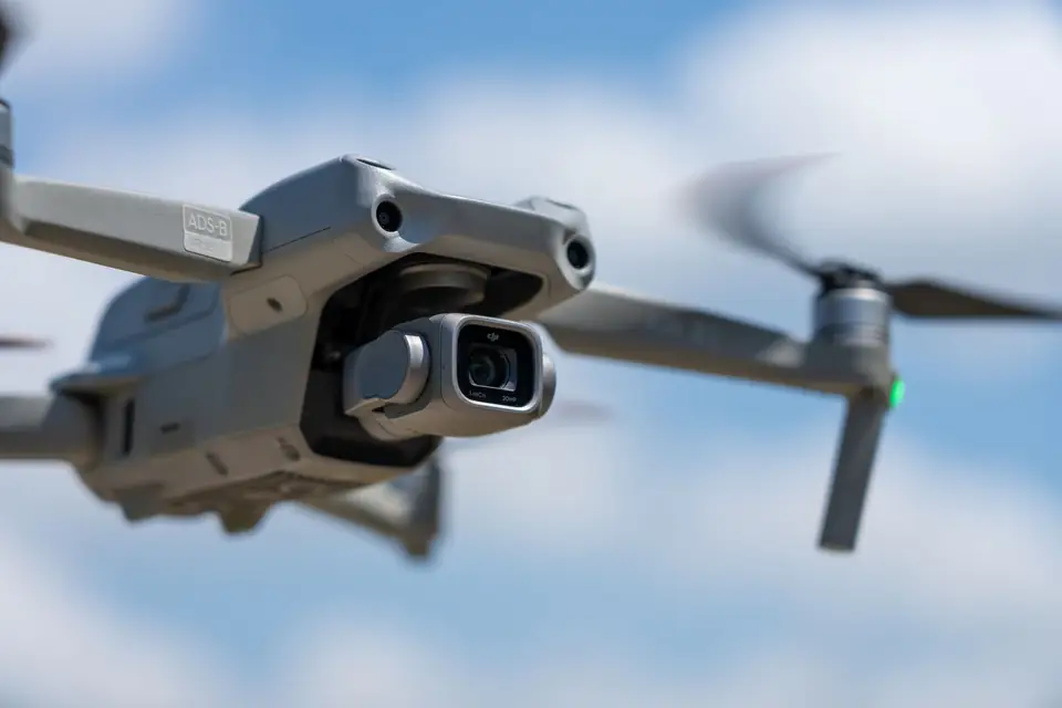
It is a drone that carries, in addition to the visible camera, an infrared sensor that records the thermal radiation emitted by each surface. The result is an image in which each pixel represents an intensity of radiation, displayed with a colour palette.
The usual practice is to capture the thermal and the visible image together. The visible image shows what is being looked at. The thermal image shows what the eye cannot see.
Radiometric and non-radiometric thermal cameras
There are two broad families of thermal cameras:
- Non-radiometric: they produce a colour image that shows contrasts, but they do not assign a reliable temperature to each pixel. They are useful for locating differences.
- Radiometric: they store in each pixel a value from which a temperature can be calculated, provided the correct parameters are entered. They are used when the report has to quantify.
For an inspection delivered to a client, it is worth asking which type will be used and how the work is calibrated and documented.
What can be inspected with a thermal drone
Aerial thermography is useful when a fault shows up as a temperature difference and the installation is large or hard to reach.
Solar (PV) plants
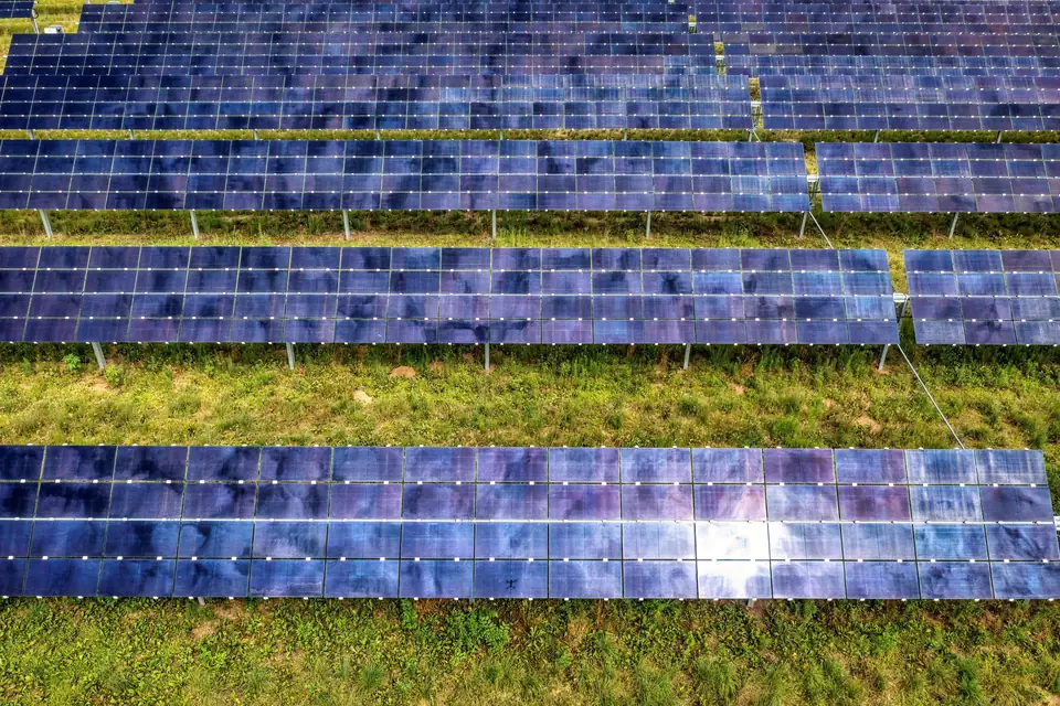
This is the most common use. With the plant in operation, a panel with a damaged cell, an active bypass diode or a faulty connection heats up differently from its neighbours. The thermal image shows it as a hotter spot or area. Whole strings that are not producing also stand out, because their temperature differs from the rest.
Power lines and substations
At connections, clamps and insulators, an abnormal resistance generates heat. Thermography helps to locate these points without climbing the towers. On long lines it is combined with other corridor data, such as LiDAR for vegetation and clearances.
Roofs and buildings
Heat loss, damp and thermal bridges can be seen from above on industrial roofs, provided the temperature difference between inside and outside allows it.
Other uses
Thermal drones are also used to locate leaks in shallow buried pipes, to check industrial installations or to search for people and animals in emergencies. At fita we focus on the inspection of solar plants, power lines and roofs, which is what our drone thermal inspection service covers.
What a thermal image cannot do
It is worth being clear about the limits, because they are the most common cause of misinterpretation.
- It does not measure the real temperature without calibration. The temperature a camera calculates depends on the emissivity of the material, the reflected temperature, the distance and the humidity of the air. If those parameters are not adjusted, the value can be far from the real one.
- It cannot see through glass or polished metal. Glass reflects radiation instead of letting it through, so what lies behind a window cannot be measured.
- It does not identify the cause on its own. A hot area may be a defect, a shadow that has just passed, a reflection of the sun or simply a different material. The image shows where to look; the cause is decided with more information.
- It does not replace an electrical measurement. It locates an anomaly, but it does not quantify it in terms of lost production or electrical risk.
Emissivity and reflections
Emissivity indicates how much radiation a surface emits compared with an ideal emitter. Glass, bright metal and a matt surface have very different emissivities, and the same temperature gives different readings. Reflections from clouds, the sun or nearby structures can create false anomalies. That is why the capture angle is planned and each finding is compared with the visible image.
How a thermal image is interpreted
Interpreting is not about looking for the reddest colour. It is about comparing, putting in context and confirming.
Compare with the surroundings
An anomaly is defined against what surrounds it. In a plant, identical panels in the same string and under the same conditions are compared. What matters is the temperature difference from the neighbours, not the absolute value.
Take the flight conditions into account
The result depends on the moment. The main factors are:
- Irradiance: in a solar plant, faults are easier to see with the panels under load, enough sun and a clear sky. The procedure or standard being applied sets the minimum required.
- Wind: it cools surfaces and can hide small differences.
- Time of day: the middle hours of the day are usually right for solar plants, while for heat loss in buildings the preferred hours are those with a large difference between inside and outside.
- Cloud cover: it changes the irradiance from one frame to the next and makes comparison harder.
Classify the anomaly
Once located, each anomaly is classified by type and severity. In a solar plant one can distinguish, for example, a hot spot in a cell, an active bypass diode, a disconnected panel or a string that is not producing. Classification makes it possible to prioritise repairs.
Confirm on site when needed
When an anomaly is doubtful or serious, the sensible step is to confirm it with a visual inspection or a measurement on the spot. The drone reduces the fieldwork, because it shows where to go. It does not remove it entirely.
How a drone thermal inspection is delivered
A good delivery lets you act on the findings without having to search for anything again.
- Thermal and visible images of each anomaly, with its position.
- Thermal and visible orthomosaic, georeferenced, which places each finding on the plan of the installation. It is the same principle as an orthophoto, with a thermal layer.
- List of anomalies with type, severity, coordinates and image.
- GIS or CAD layer to integrate the findings into the maintenance system.
- Report that records the flight conditions (date, time, wind and, where relevant, irradiance) and the classification criteria.
That last point is what gives the report its value. If the document does not explain how the capture was made, inspections from different dates cannot be compared.
What it is used for and who commissions it
- Owners and operators of solar plants, for preventive maintenance and to check the condition at handover.
- Maintenance companies, which locate faults before sending the field team.
- Operators of power lines and substations, to detect faulty connections.
- Owners of industrial buildings and roofs, to see heat loss and damp.
We work from the Valencia region (Comunitat Valenciana), based in Xàtiva, on projects across Spain and Europe.
Frequently asked questions
What can be seen with a drone with a thermal camera?
Temperature differences on surfaces: solar panels with faults, hot connections on power lines, heat loss and damp on roofs. It cannot see through glass or walls, and it does not give a reliable temperature without knowing the emissivity and the conditions.
Does a thermal camera measure the exact temperature?
Only a radiometric camera does, and only if the emissivity, reflected temperature and distance parameters are adjusted. In a maintenance inspection it is usual to compare identical elements with each other and to prioritise by temperature difference rather than by absolute value.
Does a plant have to be shut down for a thermal drone inspection?
No. In a solar plant the inspection is carried out with the panels in operation, because faults are easier to see under load. The flight takes place on clear days with little wind.
Does a thermal drone inspection replace a site inspection?
Not entirely. It locates and classifies the anomalies and greatly reduces the walking. When a finding is serious or doubtful, it is confirmed with a visual inspection or a measurement on the spot.
If you need a thermal inspection of a plant, a line or a roof, the drone thermal inspection service explains what we deliver and in which formats, and the power line inspection with drones service details the work on corridors and towers.
Written by the fita team, drone mapping and surveying in Xàtiva (Valencia, Spain).