LiDAR ·
iPhone LiDAR or drone LiDAR: which one suits your site
iPhone LiDAR or drone LiDAR: what each can measure, where a phone falls short and how to tell whether your plot or site needs a proper survey.
You have scanned your plot with the iPhone LiDAR, the result looks good on screen and someone tells you that you now have “the survey”. Then the engineers ask for a terrain model in official coordinates and you are not sure whether what you have will do. This guide explains what iPhone LiDAR can measure, what it cannot, and when you need the LiDAR of a drone.
The problem: a scan that looks good and is no use for design
Phone scanning apps show a coloured mesh within seconds. It is easy to assume that if it works in a room, it will work on a field. It does not, and the difference is not the quality of the app but scale and reference.
The iPhone sensor measures at short distances. A plot, a slope or a stockpile is too large for it. And even if the scan looks sharp, what matters to whoever designs on it is something else: where exactly each point sits in the project coordinate system, and with what error.
What is at stake
- Designing on badly measured terrain. A level error that nobody has detected changes earthworks, drainage gradients and platform levels.
- The paperwork. A permit, a licence or a technical report often requires official ETRS89 coordinates and a verifiable accuracy. A scan with no reference cannot be checked.
- Money and time. Repeating a measurement once the project is well under way costs more than doing it properly at the start.
What iPhone LiDAR is and what it does well
LiDAR is a laser that measures distance by the time a pulse takes to travel out and back. Some iPhones and iPad Pro models include a sensor of this kind, designed mainly for augmented reality and for scanning nearby spaces.
It does well what sits at its scale:
- Measuring a room or a space for a quick sketch.
- Scanning an object, a piece of furniture or a construction detail.
- Documenting the condition of a specific element for a conversation with the installer or the builder.
- Getting a first idea of small volumes, such as a pile of material beside the works.
For that it is a useful tool and there is no reason to look down on it. The problem appears when it is asked to act as a topographic survey.
Where it falls short for a plot or a site
Range and coverage
The phone sensor works at distances of a few metres. To cover a field you would have to walk all of it with the phone in your hand, joining scans together. It is slow, it leaves gaps and it accumulates error as you go.
Reference: coordinates and heights
The phone scan relies on the movement of the device itself. It is not tied to a network of known points. Even if the phone has GPS, the positioning of an ordinary phone is not that of a GNSS receiver with RTK correction. Without that reference, the mesh does not fit the mapping, the cadastre or the rest of the project drawings.
Checking
A professional survey is verified against independent checkpoints, measured with GNSS RTK or a total station, that do not take part in the adjustment. A phone scan generally has no such control. It can look good and still be shifted, tilted or distorted without anyone noticing by eye.
Vegetation and ground
On a plot with scrub, standing crops or trees, the scanner records what it sees: the surface. The ground lies underneath. A terrain model needs the ground separated from what covers it, and that requires a different kind of sensor and processing.
What drone LiDAR adds
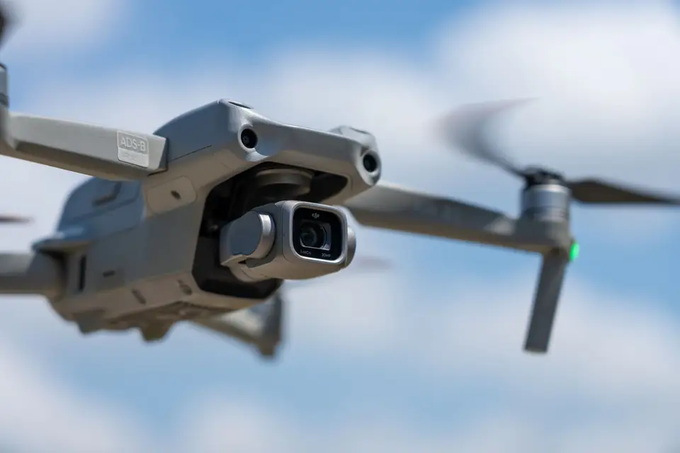
Drone LiDAR flies over the terrain and covers it continuously. It does not depend on walking the plot or on inaccessible areas, and it records with a sensor designed for surveying, not for augmented reality.
Its real difference lies in three things:
- Known trajectory. The drone carries a GNSS receiver with RTK correction and an inertial measurement unit (IMU) that records where the laser is pointing. With them, every point receives absolute coordinates.
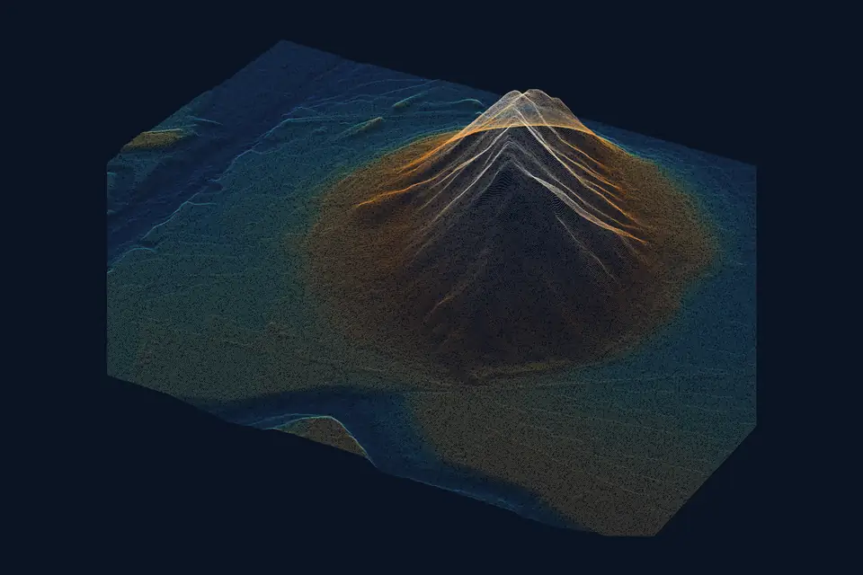
- Several returns per pulse. Multiple returns help record the ground through gaps in the vegetation. We then classify the ground points and check the coverage obtained.
- Control. Ground control points and checkpoints are measured on site and a report is delivered with the error obtained.
As a typical range for the technique, the accuracy of a well-controlled drone LiDAR survey is 2-5 cm, expressed as root mean square error (RMSE), over open ground or well-defined surfaces, in the project reference system and checked against independent points. The figure for each job is agreed in the proposal and documented in the control report. If you want to see exactly what is delivered, read our guide on what a point cloud is and how it is classified.
A comparison to help you decide
| Criterion | iPhone LiDAR | Drone LiDAR |
|---|---|---|
| Suitable scale | Object, room, detail | Plot, corridor, site, quarry |
| Reference | Relative to the device itself | Official coordinates with RTK trajectory |
| Checking | Normally none | Checkpoints and report |
| Vegetation | Records the surface | Helps record the ground through gaps |
How a drone survey is carried out, step by step
The order is the same whatever the size of the site:
- We define what the data is for: a layout design, a stockpile measurement, a permit, construction progress monitoring.
- We agree the extent, the deliverables and the reference system (official ETRS89 coordinates).
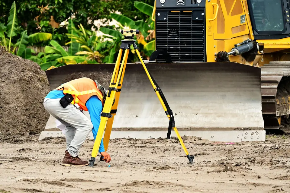
- Ground control points and, separately, checkpoints are measured on site with GNSS RTK or a total station.
- We plan and fly. The trajectory is corrected and the passes are adjusted to each other.
- The point cloud is classified, at least the ground, and the DTM (digital terrain model, the bare ground without vegetation or buildings) and the other products are generated.
- The result is compared with the checkpoints and a control report is written.
If you are going to commission a survey later and want to know what to ask for, our guide on what a LiDAR survey specification should include sets it out.
Illustrative example: a field for a solar plant
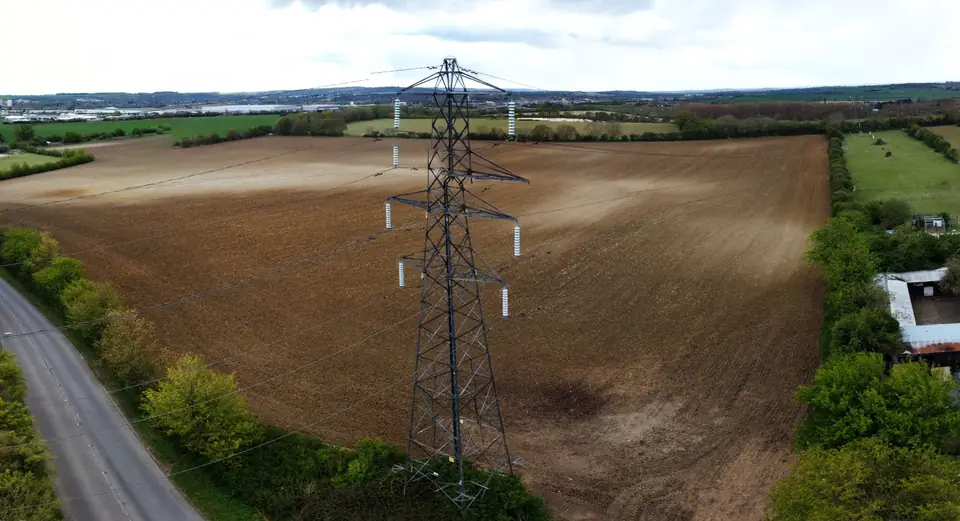
Imagine a developer who is about to present a large field with scattered scrub to the engineering team. To save time, they scan the area closest to the track with a phone and send the result.
The engineers reply that they need slopes, aspects and drainage for the whole plot, in official coordinates, and that the scrub hides the ground over much of it. With the phone scan they cannot calculate any of that with confidence: it covers a small strip, has no reference and records only the surface.
With a drone LiDAR survey, the developer receives a classified point cloud, a DTM of the whole field and contour lines at the interval the engineers ask for. These products arrive in formats their software opens without conversion, with a report stating how much error the model has. This case is illustrative, not a real job.
What you get by choosing the right tool
- A terrain model that fits the rest of the project mapping.
- An accuracy that can be verified, not a visual impression.
- Less risk of repeating measurements once the engineers are already working.
- A reasonable lead time: once the visit is agreed, delivery is usually around 7 working days, although the proposal sets the timescale for each project.
At fita we fly the DJI Zenmuse L3 LiDAR sensor on a DJI Matrice 400. Based in the Valencia region (Comunitat Valenciana), we work on projects across Spain and Europe. If you do not know whether what you have is good enough or whether it needs to be measured again, tell us about the case and we will say so before you spend anything.
Frequently asked questions
Can I use iPhone LiDAR to measure my plot?
For a very rough estimate of a specific detail, yes. For a whole plot, a terrain model or a technical procedure, no: the range is short, there is no reference in official coordinates and there are no checkpoints to back up the result.
Is a phone scan good enough to calculate the volume of a stockpile?
For a small, accessible pile it gives an idea. For a large stockpile, an irregular one or one that will be invoiced, a drone survey is better: it covers the whole surface, against an agreed base, with control of the error.
How accurate is iPhone LiDAR compared with drone LiDAR?
There is no single figure that holds for every case, and it depends on distance, surface and app. What does set a drone survey apart is that its accuracy is checked against independent points and written down in a report.
Can the two tools be combined?
Yes, each at its own scale. The drone handles the terrain and the general coverage; a close-range scan can document a detail, such as a manhole or a hard-to-reach area. What matters is knowing which data comes from which tool.
To see how we work and what we deliver, read about our drone LiDAR survey and drone surveying services and the point cloud page, with deliverables and formats.
Written by the fita team, drone mapping and surveying in Xàtiva (Valencia, Spain).