LiDAR ·
Drone LiDAR sensor: how to choose between three bids
Drone LiDAR sensor: what to check when three bids propose different sensors. Returns, density, trajectory and quality control to decide with confidence.
You ask for quotes for a LiDAR survey and three proposals come back with three different sensors, three brand names and no clear comparison. One says “longer range”, another “more points per second” and the third “centimetre accuracy”. With that material it is easy to end up choosing on price. This guide explains what to look at in the LiDAR sensor of each bid so that you decide on the result you will receive and not on the brochure.
The problem: three sensors and no common criterion
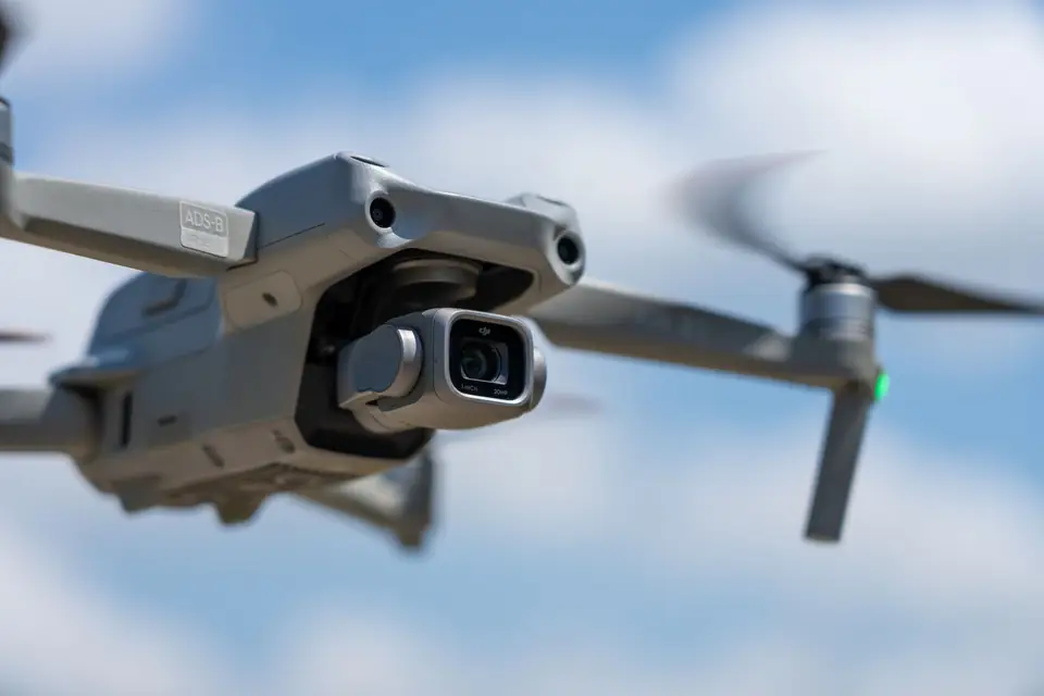
A drone LiDAR sensor is a set of parts: the laser that emits the pulses, the receiver that measures the echo, the system that knows at every instant where the drone is and where it is pointing, and often a camera. The final point cloud depends on the whole set and on how it is used, not only on the laser.
That is why comparing datasheets rarely settles anything. What matters is what you will be delivered over your terrain, with your vegetation and for your purpose: a layout design, a power line corridor, a drainage study. A very capable sensor that is used badly gives worse data than a simpler one that is well calibrated and well checked.
What is at stake
- That the ground is well recorded under vegetation, because the DTM used for design comes from it.
- That the cloud is consistent from one pass to the next, so that contour lines and volumes do not hide errors.
- That the delivery can be checked, with independent checkpoints and a quality control report.
- That timeframe and cost match the real scope, without paying for capacity the project does not need.
What to look at in a LiDAR sensor, in order of importance
1. How it records the ground under vegetation
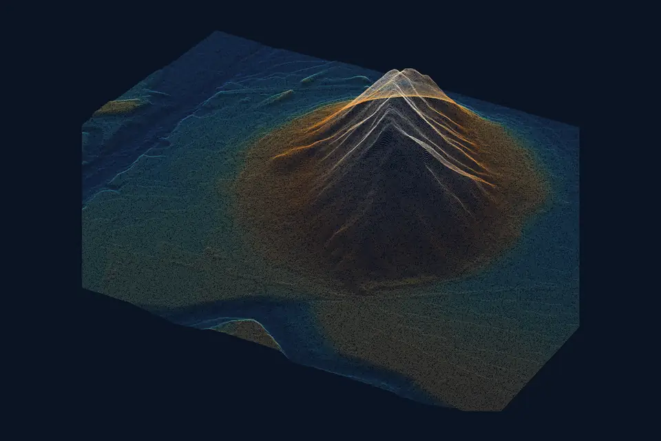
A laser pulse can return several echoes: one when it touches a leaf, another lower down and another when it reaches the ground if there are gaps. A sensor with multiple returns per pulse helps to record the ground through the gaps in vegetation. It does not guarantee that the pulse reaches the ground: in dense scrub or a closed pine stand, ground coverage drops with any sensor.
Ask each supplier how many returns the sensor records and, above all, how they check the ground coverage obtained. A sound answer is that they classify the ground points and show you where the gaps are.
2. The point density expected on your terrain
Density is expressed in points per square metre and depends on the sensor, the flying height and the speed. With a drone it is usually hundreds of points per square metre, well above the national PNOA-LiDAR coverage (Spain’s National Aerial Orthophoto Programme). Ask the bid to state the density it expects in your case and whether it refers to all points or only ground points. The two figures can be very different under tree cover.
3. Trajectory and orientation: what the laser does not show
The accuracy of a point depends on knowing precisely where the drone was and where the sensor was pointing when it was measured. That is solved by an integrated GNSS receiver and an inertial measurement unit (IMU), together with trajectory correction. A good laser with a poor trajectory gives a shifted cloud.
Ask how the trajectory is corrected (RTK, post-processing) and how the passes are adjusted against each other. It is more revealing than the laser’s range.
4. Integrated camera or not
Some sensors carry an RGB camera that colours the cloud or produces an orthophoto. It is useful if you need both, but it does not replace a metric camera when the orthophoto is a deliverable with its own resolution requirements. If the project only needs the ground, there is no point paying for a function that will not be used.
5. Range and flying height
Range matters when the terrain is steep, when there are obstacles or when the drone must fly high for safety. On flat, open ground it decides the least. Ask the bid to explain the height at which it will fly and the resulting density, instead of comparing maximum ranges.
How the work is carried out with the chosen sensor
Whatever the sensor, the order of a serious LiDAR survey is always the same:
- The area, purpose, reference system (official ETRS89 coordinates) and deliverables are agreed.
- The flight is planned: height, overlap between passes, and season if vegetation changes through the year.
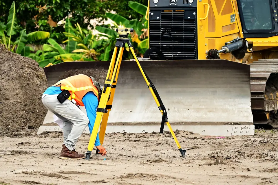
- Control points and, separately, checkpoints are measured in the field with GNSS RTK or a total station.
- The flight is made, the trajectory is corrected and the passes are adjusted.
- The cloud is classified (at least the ground) and the DTM or other products are generated.
- The result is checked against the checkpoints and the quality control report is written.
Steps 3 and 6 are the ones that let you know whether the sensor performed as promised. The specification for a LiDAR survey sets out how to require them: we cover it in the guide on what a LiDAR survey specification should include.
Illustrative example: three bids for the same corridor
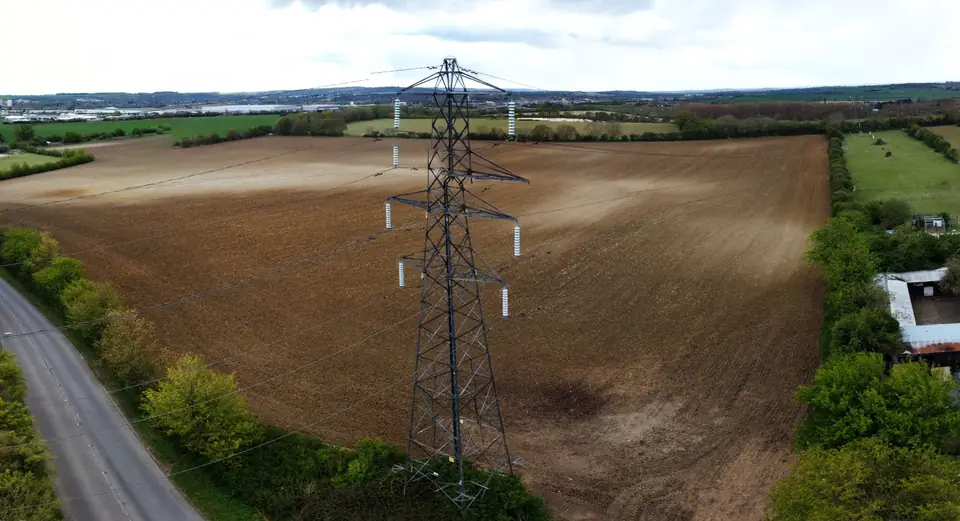
Imagine a long corridor, with stretches of open ground and others under trees, and three proposals:
- Bid A: a long-range sensor, with no mention of checkpoints or a quality control report.
- Bid B: a simpler sensor, with independent checkpoints spread along the corridor and delivery of the quality control report.
- Bid C: a sensor with an integrated camera, promising orthophoto and cloud in the same pass, without stating the ground density expected under the trees.
Whoever decides by datasheet picks A. Whoever decides by what can be verified picks B, or asks A to add the control. C raises the question of whether an orthophoto is needed and at what resolution. None of these decisions depends on a specific laser figure, but on how the result can be verified.
What you get by choosing well
- A classified point cloud, with the ground identified and its coverage documented.
- A DTM from which contour lines, profiles and a drainage network can be derived.
- Accuracy that can be checked: as a typical range, 2-5 cm RMSE over open ground or well-defined surfaces, in ETRS89 / UTM, measured on independent checkpoints. The figure for each project is agreed in the proposal and documented in the quality control report.
- A reasonable timeframe: once the visit is agreed, delivery is typically about 7 working days, although the proposal sets the timeframe for each project.
At fita we fly the DJI Zenmuse L3 LiDAR sensor on a DJI Matrice 400, and the DJI Zenmuse H30T thermal camera for inspection. Based in the Valencia region (Comunitat Valenciana), we work on projects across Spain and Europe. If you have three bids on the table, tell us about the case and we will help you compare them by what you will receive.
Frequently asked questions
Does a LiDAR sensor with more range give better data?
Not necessarily. Range helps on steep terrain or when the drone must fly high, but the quality of the cloud depends more on the trajectory, calibration, checkpoints and classification. Compare how the result is checked, not only the range.
What is the difference between a LiDAR sensor and a camera for the same job?
LiDAR measures distances with a laser and records geometry, even through gaps in vegetation. Photogrammetry reconstructs surfaces from images and works well on bare, well-lit ground. For ground under tree cover, LiDAR is usually needed.
Does the sensor need to carry a camera?
Only if you need to colour the cloud or produce an orthophoto with clear resolution requirements. If the deliverable is the ground, an integrated camera does not improve the accuracy of the DTM.
How do I know whether the sensor performed as promised?
From the control report: the RMSE in X, Y and Z over independent checkpoints, the density obtained and the ground coverage under vegetation. If the bid does not include that report, ask for it before signing.
To see how we work, read about our drone LiDAR survey service and the point cloud page, with deliverables and formats.
Written by the fita team, drone mapping and surveying in Xàtiva (Valencia, Spain).