Articles on Mapping
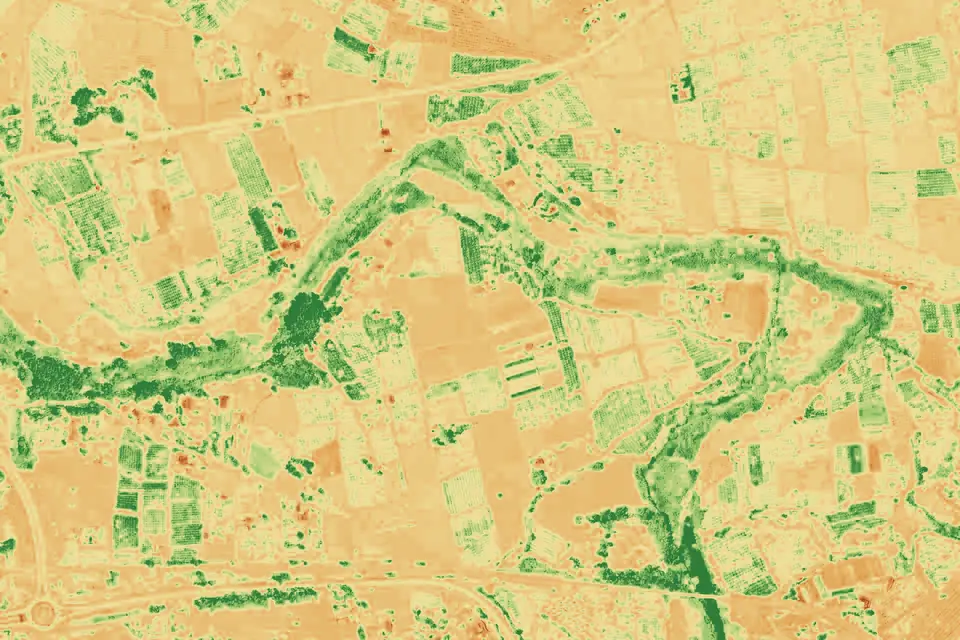
Drones in agriculture: vigour maps and NDVI explained
Drones in agriculture: what an NDVI vigour map shows, what it cannot tell you and how to order a multispectral flight that helps with irrigation decisions.
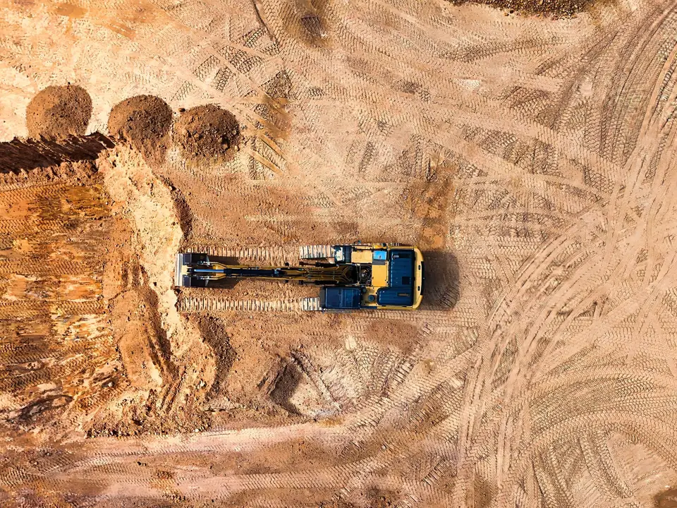
Earthworks volumes: how to compare surveys over time
Earthworks volumes from drone surveys: which surfaces to compare, what must match between surveys and which errors distort the volume before you certify.
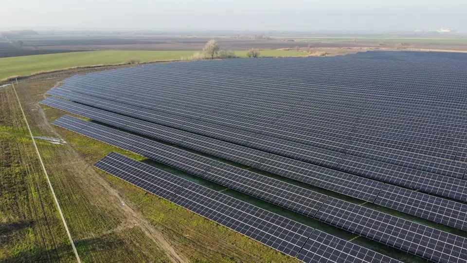
Solar farm topographic survey: what data to ask for
Topographic survey for solar farms and large sites: which deliverables to request, what resolution each phase needs and how to avoid flying twice.
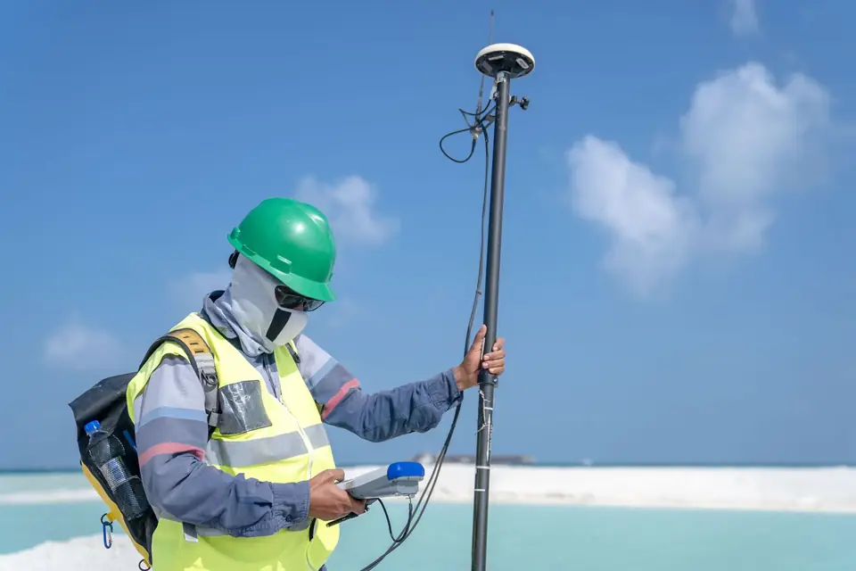
Survey quality control: checking a topographic delivery
Survey quality control: what a delivery should include (report, reference system, RMSE) and how to check it yourself with a few points of your own.
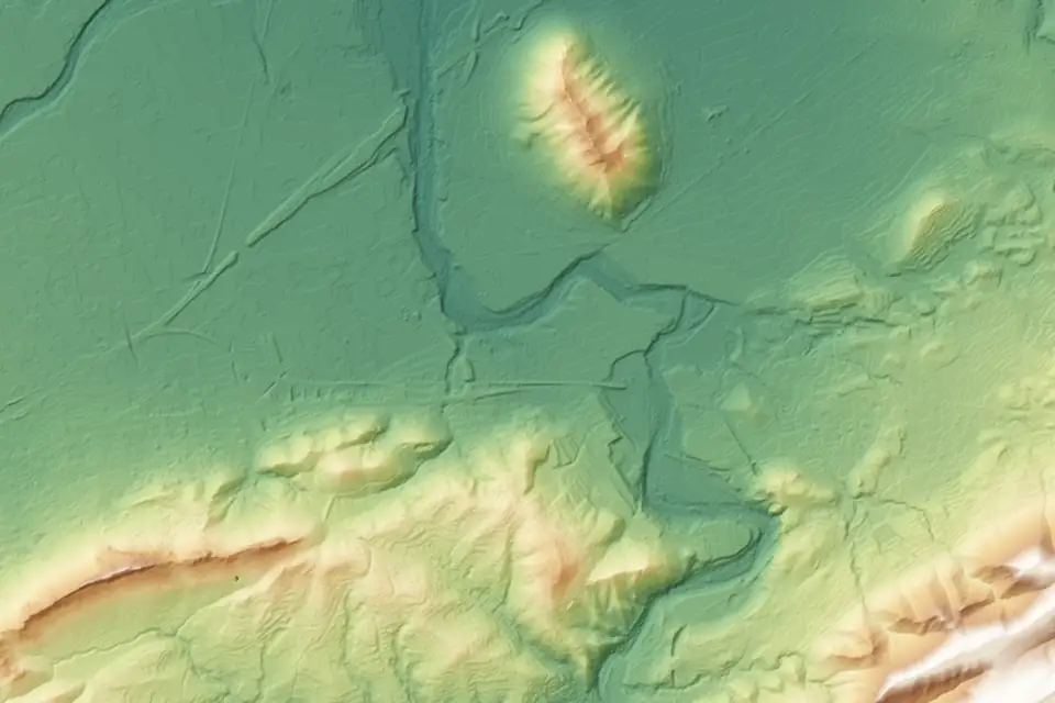
Flood zone maps in Spain: checking them and the DTM's role
Flood zones in Spain: what they are, how to check the official SNCZI viewer and why the quality of the DTM decides the outcome of a flood risk study.
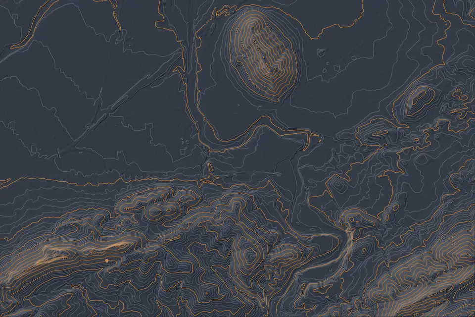
Contour lines: what they are and how they are made
Contour lines explained: what they are, how to choose the contour interval and how a drone DTM becomes a contour map ready for design work.
DTM vs DSM: differences and when to use each
DTM vs DSM explained with examples: what a digital terrain model is, what a digital surface model is, where DEM fits in and which one each project needs.
Tell us where the project is and what you need to solve
You can send us the site boundary, a plan or the specification. We will reply within one or two working days to review the scope and confirm when you can expect the proposal.