LiDAR ·
LiDAR survey specification: what it should include
What a LiDAR survey specification should include: reference system, point density, classification, checkpoints, RMSE and acceptance criteria.
A LiDAR survey specification sets out what is measured, to what accuracy, how it is checked and what is delivered. If it leaves gaps, each supplier fills them in its own way and the bids stop being comparable. This guide covers what the specification for a drone LiDAR survey should include so that the delivery can be reviewed and accepted against objective criteria.
What a well-defined specification is for
The specification (in Spain, the pliego) is the common reference between whoever commissions the work and whoever measures. A good specification does three things.
- It makes bids comparable: every supplier quotes for the same scope, the same accuracy and the same deliverables.
- It makes the delivery verifiable: each requirement has a way of being checked, not just a description.
- It reduces queries halfway through the job: reference system, formats and timeframes are decided before the flight.
The specification does not need to explain how to fly: it only needs to state what result is required and how its quality will be measured.
Scope and extent of the survey
The first section of the specification describes the job. It is worth including:
- Boundary of the area in a georeferenced file (KML, SHP or DXF), with the area or, for a corridor, the length.
- Purpose of the data: site layout design, drainage study, power line inventory, construction progress monitoring. The purpose determines which density, classification and accuracy make sense.
- Project stage and the date by which the data is needed.
- Known site conditions: vegetation, watercourses, buildings, areas with restricted access.
If there is dense vegetation, say so. Multiple returns help record the ground through gaps in the vegetation, but ground coverage varies greatly between an arable crop, closed scrub or a pine wood.
Reference system and height model
This is the section that prevents the most problems and the one most often missing. The specification should set:
- Geodetic reference system: in Spain, ETRS89.
- Projection: UTM, with the zone stated. If the site crosses the boundary between zones, the specification should say which zone everything is delivered in.
- Heights: orthometric or ellipsoidal, and the geoid model used to convert between them. In Spain, the official model of the IGN (National Geographic Institute of Spain) is EGM08-REDNAP.
If the project already has a network of control stations or earlier mapping, the specification should ask for the survey to be tied to it and for the tie to be documented. For projects outside Spain, the specification states the country’s official system or the project’s own.
Point density and point cloud classification
What density to ask for
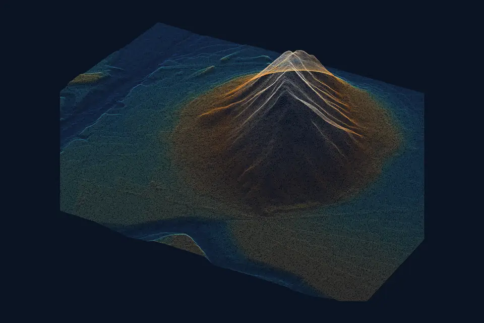
Density is expressed in points per square metre. A drone LiDAR flight usually achieves densities of hundreds of points per square metre, compared with 0.5 to 5 in the national PNOA-LiDAR coverage (PNOA: Spain’s National Aerial Orthophoto Programme). When specifying it, the specification should make three things clear:
- Whether it refers to all points or only to ground points. On vegetated terrain, the two figures can be very different.
- How it is measured: an average over the area, or a percentage of grid cells that reach a minimum.
- Which areas are excluded from the requirement: water bodies, roofs, very closed vegetation.
What classification to require
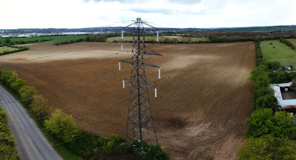
An unclassified point cloud is just geometry. The specification should state which classes are needed, usually following the ASPRS standard: ground, low, medium and high vegetation, buildings, water, noise and, in power line corridors, conductors and towers. It is also worth asking for:
- Manual review of the ground classification in sensitive areas: embankments, riverbanks, building edges.
- A map or report of the ground point coverage obtained, especially under vegetation.
A DTM is only as good as the ground classification it comes from. That is why this section matters as much as accuracy.
Deliverables and delivery formats
Each deliverable should come with its format and its parameters. A table in the specification avoids misunderstandings.
| Deliverable | Usual format | What to specify |
|---|---|---|
| Classified point cloud | LAS or LAZ | LAS version, classes, tiling |
| DTM (terrain) | GeoTIFF, ASCII Grid, LandXML | Cell size, interpolation |
| DSM (surface) | GeoTIFF | Cell size, what it includes |
| Contour lines and profiles | DWG, DXF, SHP | Contour interval, profile alignments |
With a drone, models are usually delivered with cells of 5 to 20 cm; the cell size should be chosen for the intended use, not the finest by default. If the specification asks for a “DEM”, it should make clear whether it means the terrain (DTM) or the surface (DSM): in the IGN terminology, DEM (in Spanish, MDE) is the general term that covers both. If an orthophoto is needed, it must be requested explicitly, because LiDAR does not produce one on its own: it requires an RGB camera on the same flight or on another.
Ground control points and independent checkpoints
The specification should distinguish between two types of points measured in the field with GNSS RTK or a total station:
- Ground control points (GCPs): used to adjust the point cloud to the ground.
- Checkpoints: not used in the adjustment. Their only purpose is to measure the error of the final product.
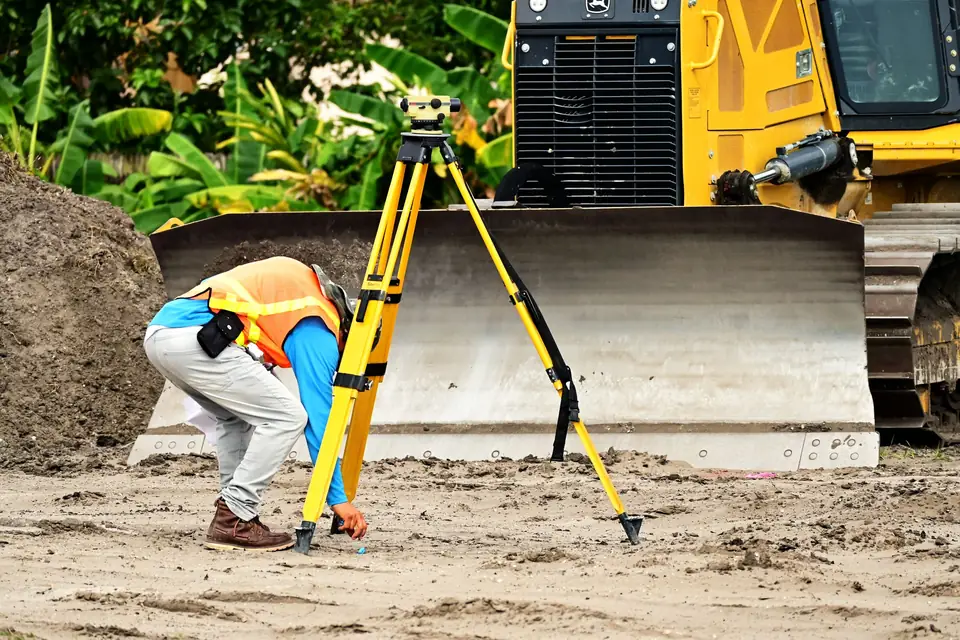
Without independent checkpoints there is no objective way to know the accuracy of the delivery. The specification should ask for them to be spread across the whole area, on open ground with well-defined surfaces, and for their coordinates and measurement method to be delivered. The horizontal component needs features that can be identified in the point cloud: corners, painted marks or targets.
Quality control report: what it should contain
The control report is part of the deliverable, not an optional appendix. As a minimum, it should document:
- The reference system and height model used.
- The control points and checkpoints, with their coordinates and residuals.
- The root mean square error (RMSE) in X, Y and Z on the checkpoints.
- The adjustment between flight lines: the differences between overlapping strips before and after calibration.
- The density obtained and the ground coverage under vegetation.
- The flight date and any incidents.
For reference, the typical accuracy of a well-calibrated drone LiDAR with an RTK trajectory and ground control is 2 to 5 cm RMSE on open ground or well-defined surfaces, in ETRS89 / UTM, checked against independent checkpoints. It depends on the sensor, the flight altitude, the trajectory and the vegetation. The figure for each project is agreed in the proposal and checked in this report.
Overlap and flight conditions
The specification does not have to set the altitude or the speed, but it can ask for the bid to include a flight plan with:
- Planned altitude and speed, and the density expected from them.
- Side overlap between flight lines and, if planned, cross strips for the adjustment.
- Season of the flight, if the vegetation changes through the year: with crops or deciduous trees, ground coverage can vary greatly from one month to the next.
Rain, fog and airborne dust scatter the laser. LiDAR does not depend on light, but the RGB camera does: if there is an orthophoto, lighting also affects the date.
Permits, coordination and timeframes
A drone survey has requirements that the specification should assign clearly:
- Operator registered with AESA (Spain’s Aviation Safety Agency) and an operation that complies with UAS regulations and the airspace restrictions of the area. Who handles any permits or coordination required.
- Access to land and notices to landowners: who manages them.
- Site safety, if the flight takes place while construction is under way.
- Timeframes, separately for fieldwork and processing. Classification and quality control take as long as the flight or longer. In corridors and large areas, the specification can provide for delivery by sections or milestones.
Acceptance criteria for a LiDAR survey
This is the part that turns the specification into a review tool. Each criterion should be checkable against the report and the files delivered.
- Accuracy: maximum RMSE in Z, and in X and Y, on independent checkpoints, on open ground.
- Density: the minimum required, with how it is measured and the excluded areas.
- Consistency between flight lines: maximum differences between overlapping strips on flat surfaces.
- Coverage: no gaps in the area except justified ones (water, occlusions).
- Classification: the classes requested and review of the ground class.
- Formats: readable files, in the requested reference system and with their metadata.
- Review period for the client and correction period for the supplier.
Common mistakes in a LiDAR survey specification
- Asking for “centimetre accuracy” without saying how it is measured or on which points.
- Confusing resolution and accuracy: the cell size, or the GSD (ground sampling distance) of an orthophoto, says nothing about the error.
- Asking for a DEM without saying whether it means terrain or surface.
- Not asking for independent checkpoints or a control report.
Frequently asked questions
What accuracy can a drone LiDAR survey specification require?
As a typical range, 2 to 5 cm RMSE on open ground or well-defined surfaces, checked against independent checkpoints. Under dense vegetation, accuracy and ground coverage get worse. The sensible approach is to set the value according to the purpose and ask the supplier to confirm it in its proposal.
Should a LiDAR survey include an orthophoto?
Only if the project needs one. LiDAR measures geometry and does not produce an orthophoto on its own. If one is requested, the specification should state its resolution (GSD) and its accuracy separately, because they are not the same figure.
How many checkpoints should be requested?
It depends on the area, the shape of the site and the relief. Rather than a fixed figure, it is worth asking for them to be spread across the whole area, on open ground, and for the supplier to justify the number in its bid.
What do we do if a specification asks for a DEM?
We confirm whether it means the bare earth (DTM) or the surface with vegetation and buildings (DSM), and we state it in the report for the job. If there is a specification, we start from it and, before beginning, we raise any requirement that needs clarifying.
From our office in Xàtiva, we work on projects across Spain and Europe. Our drone LiDAR survey service and the point cloud page detail the deliverables, the formats and how each delivery is checked.
Written by the fita team, drone mapping and surveying in Xàtiva (Valencia, Spain).