Articles on LiDAR
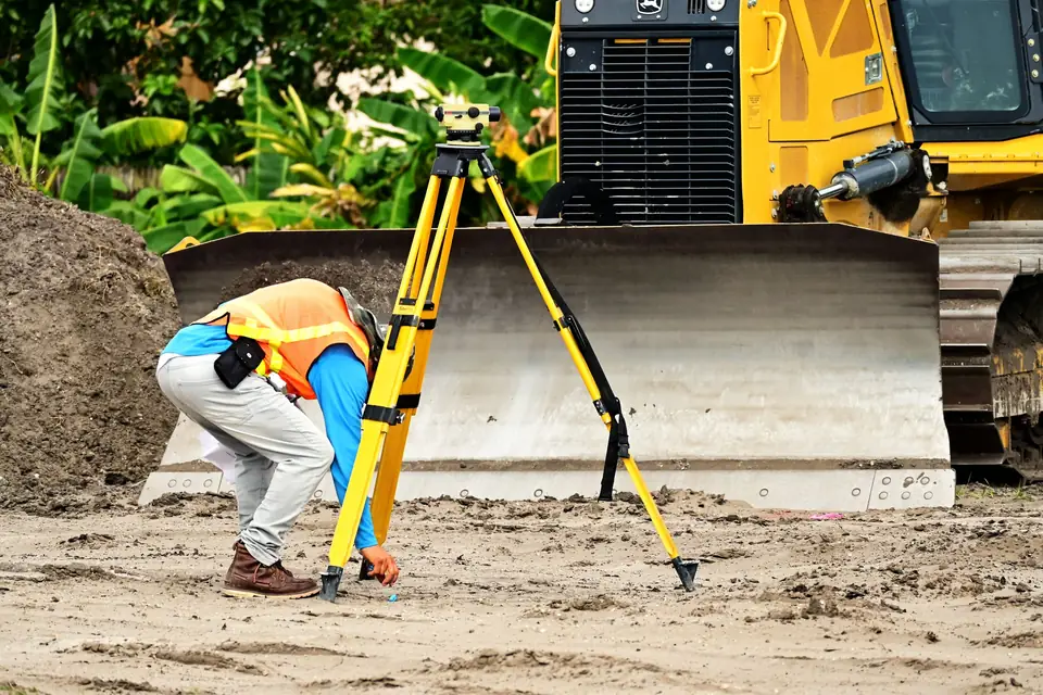
iPhone LiDAR or drone LiDAR: which one suits your site
iPhone LiDAR or drone LiDAR: what each can measure, where a phone falls short and how to tell whether your plot or site needs a proper survey.
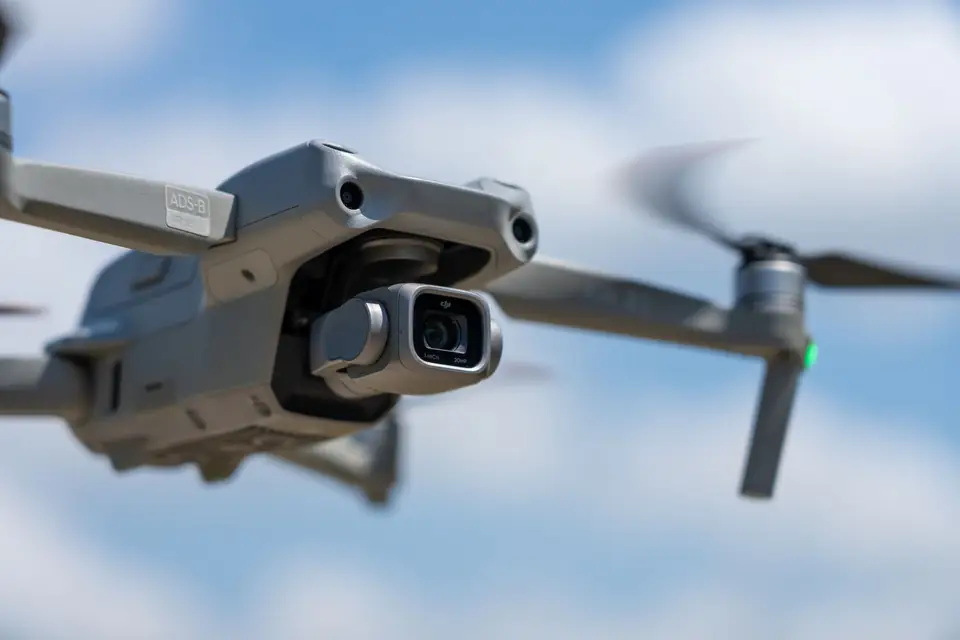
Drone LiDAR sensor: how to choose between three bids
Drone LiDAR sensor: what to check when three bids propose different sensors. Returns, density, trajectory and quality control to decide with confidence.
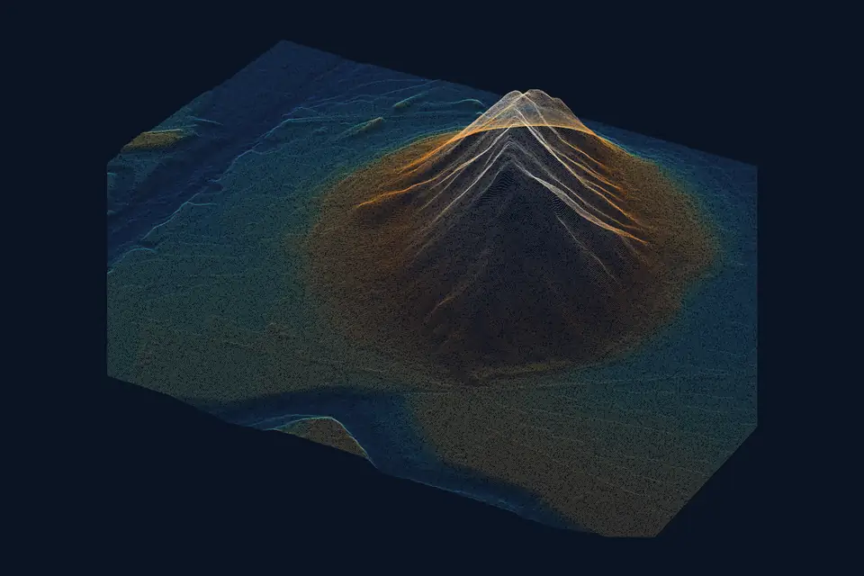
Point cloud: what it is and how it is classified
What a point cloud is, how LiDAR or photogrammetry captures it and how it is classified into ground, vegetation and buildings to build a reliable DTM.
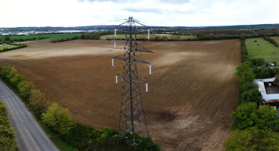
LiDAR survey specification: what it should include
What a LiDAR survey specification should include: reference system, point density, classification, checkpoints, RMSE and acceptance criteria.
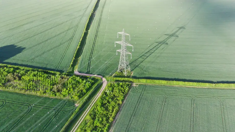
What is LiDAR and how is it used in mapping?
What is LiDAR, how a drone LiDAR sensor works and what it delivers: point clouds, a DTM under vegetation and contour lines with checked accuracy.
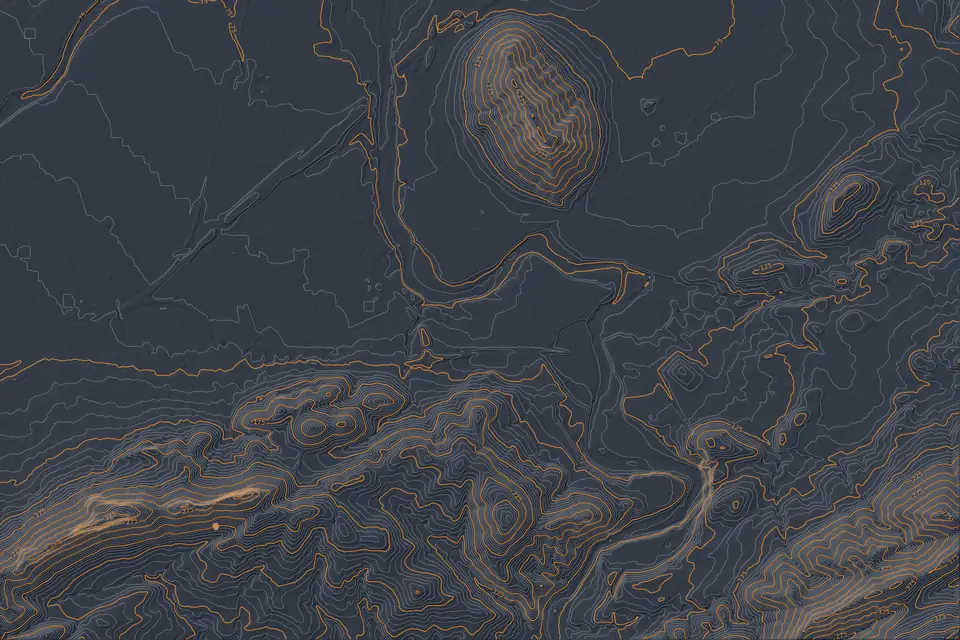
PNOA LiDAR and IGN open data: a guide to download and use
Guide to Spain's IGN open data: PNOA LiDAR, DTM, DSM and orthophotos. Comparison table, how to download them step by step and when you need your own flight.
Tell us where the project is and what you need to solve
You can send us the site boundary, a plan or the specification. We will reply within one or two working days to review the scope and confirm when you can expect the proposal.