LiDAR ·
What is LiDAR and how is it used in mapping?
What is LiDAR, how a drone LiDAR sensor works and what it delivers: point clouds, a DTM under vegetation and contour lines with checked accuracy.
LiDAR is a laser measurement technique that calculates distances by timing how long a pulse of light takes to travel to a surface and back. Mounted on a drone, the sensor records millions of points on the ground and turns them into a georeferenced point cloud. This article explains what LiDAR is, how it works, what you get from it and when it is the best option compared with photogrammetry.
What is LiDAR and where does the name come from?
LiDAR stands for Light Detection and Ranging: detecting objects and measuring distances with light. The principle is simple. The sensor emits a laser pulse, the pulse bounces off a surface and returns to the receiver. Because the speed of light is known, the round-trip time becomes a distance.
A LiDAR sensor repeats that operation hundreds of thousands of times per second while a rotating mirror or prism deflects the beam in different directions. The result is a continuous sweep of the surface beneath it. Each measurement is a point with three coordinates.
LiDAR technology has existed since the 1960s, but for a long time it was only used from aircraft or from large ground-based equipment. Smaller sensors and navigation systems have made it possible to mount them on drones. That has brought LiDAR to surveys of specific sites and corridors, not only to large coverages.
How drone LiDAR works
On its own, a LiDAR sensor measures distances relative to itself. Two further components are needed to turn those distances into coordinates on the ground.
- GNSS RTK: a satellite positioning receiver with real-time correction that locates the drone with centimetre accuracy at every instant.
- IMU (inertial measurement unit): a set of gyroscopes and accelerometers that records the orientation of the sensor, that is, where the laser is pointing at each moment.
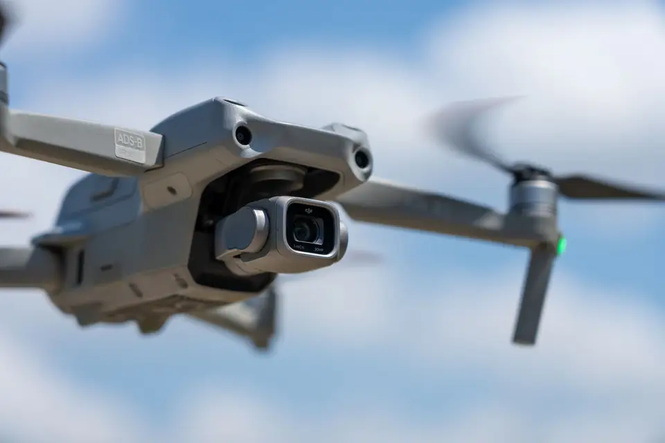
The software combines the trajectory (GNSS + IMU) with the laser measurements and calculates the absolute position of every point. This process is called direct georeferencing. With a professional-grade drone such as the DJI Matrice 400, the trajectory is recorded with the quality needed for the whole system to achieve accuracies of a few centimetres, which are checked on every job.
Multiple returns: how the ground is recorded under vegetation
A laser pulse is not an infinitely thin point: it is a beam with a certain width. When it meets a tree canopy, part of the energy bounces off the leaves and part may continue through the gaps to lower branches or to the ground. The sensor records several returns from the same pulse.
That property is the great advantage of LiDAR in mapping. In an area of scrub, a pine wood or a citrus orchard, multiple returns help record the ground through gaps in the vegetation. A return, however, is not yet a ground point: the last return of a pulse may stop at a branch or in the scrub. That is why we classify the ground points and check the coverage obtained. Under very dense vegetation, that coverage can be sparse. Photogrammetry, which depends on what the camera sees, only records the visible surface: the treetops.
Point density
Density is measured in points per square metre. It depends on the sensor frequency, the flight speed and altitude, and the overlap between flight lines. A drone LiDAR flight at 60-100 m altitude produces densities of hundreds of points per square metre. For comparison, the national LiDAR coverage of the PNOA (Spain’s National Aerial Orthophoto Programme) ranges from 0.5 to 5 points per square metre, depending on the coverage. That difference in density is what makes it possible to model ditches, walls, embankments and small changes in level.
What a LiDAR survey delivers: the point cloud and its derived products
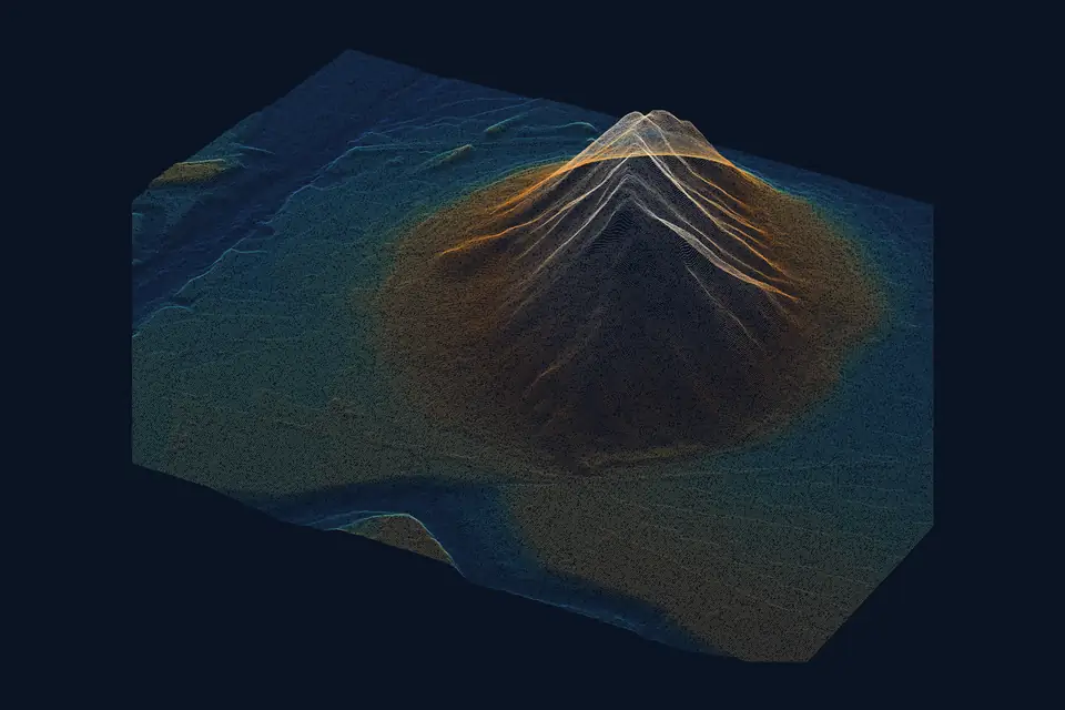
The raw product is the LiDAR point cloud: a file with millions of points, each with X, Y and Z coordinates, return intensity, return number and, after processing, a class. It is usually delivered in LAS or LAZ (compressed) format, compatible with any GIS, CAD or BIM software.
The mapping products that projects actually use are derived from the classified point cloud.
- Digital terrain model (DTM): calculated only from the points classified as ground. It is the basis for slopes, catchments and site layout projects.
- Digital surface model (DSM): comes from the first returns and includes vegetation and buildings. The difference between the DSM and the DTM gives tree and building heights. Volumes are calculated by comparing two compatible surfaces within a defined area.
- Contour lines: generated from the DTM with the contour interval the project requires (0.5 m, 1 m, 5 m).
- Longitudinal profiles and cross-sections: sections of the DTM along an alignment, typical in roads, railways and power lines.
- Drainage network and catchments: hydrological analysis on the DTM.
- 3D models: meshes or coloured point clouds that combine the LiDAR data with the images from the RGB camera.
Point cloud classification
Classifying means assigning each point a category: ground, low, medium or high vegetation, building, water, power conductor, tower. It is done with automatic algorithms and a manual review in problem areas. A DTM is only as good as the ground classification it comes from: a vegetation point wrongly classified as ground appears as a mound that does not exist.
What LiDAR is used for in mapping and surveying
Topographic surveys of large sites for renewables
A large solar plant needs a reliable DTM to calculate slopes, aspect, earthworks and shading analysis. With LiDAR, multiple returns help record the ground even if the site has scrub or standing crops; we classify the ground points and check the coverage obtained. The area covered per day depends on the terrain, the sensor, the resolution required, the airspace and the planning; we set it in the flight plan for each project.
High-voltage power lines and corridors
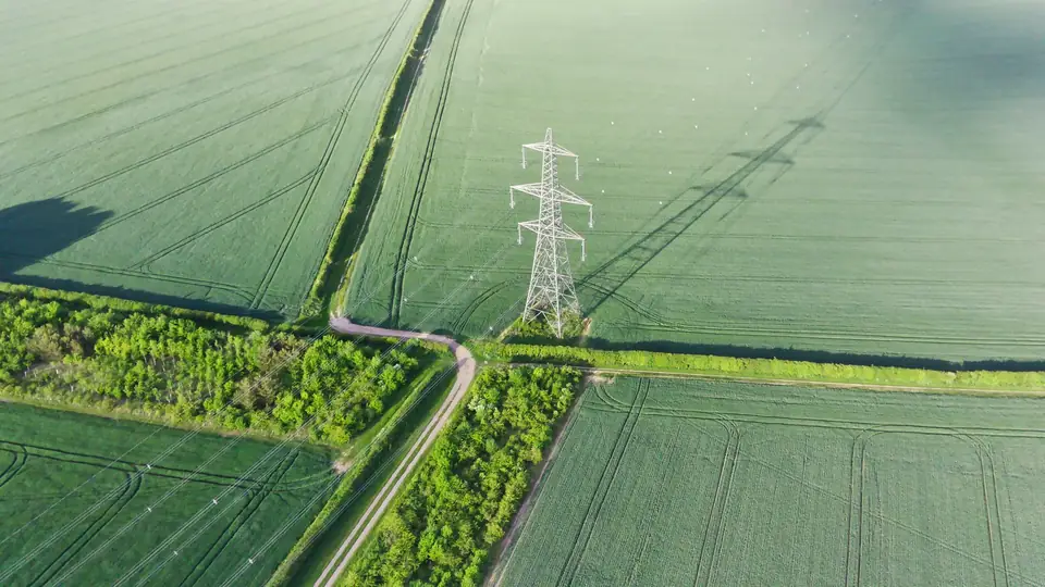
This is the application where LiDAR has no competitor. The conductors of a power line are too thin for photogrammetry, but the laser records them as points. With the classified point cloud, we measure safety clearances between conductors and vegetation, conductor sag and tower heights. The same applies to roads, railways and pipelines.
Civil works, quarries and earthworks
A LiDAR survey repeated over time makes it possible to compare two states of the terrain and calculate the volume excavated or stockpiled (the volume calculations). The volume is calculated within a defined area, the perimeter of each stockpile or zone, by integrating the difference between two compatible surfaces: same reference, same grid and same processing. The advantage over measuring on foot with GNSS is coverage: instead of a few hundred points taken by hand, the model is based on millions.
Vegetated areas: forestry, agriculture and watercourses
In a ravine full of reeds or a riverside wood, photogrammetry returns the treetops and nothing else. LiDAR records the ground through gaps in the vegetation and, once the ground points have been classified and their coverage checked, makes it possible to model the channel, which is essential in flood risk studies and drainage networks.
Urban planning
DTM, DSM and contour lines of a development area, with the heights of existing buildings, from the same flight. Local councils and architecture practices use it as a basis for planning and for 3D models.
Drone LiDAR vs photogrammetry: when to choose each
They are not rival techniques: they complement each other, and in many projects both are flown at the same time. The choice depends on the terrain and the deliverable.
| Criterion | Drone LiDAR | Drone photogrammetry |
|---|---|---|
| Vegetation | Records the ground through gaps in the canopy | Only the visible surface |
| Orthophoto | Does not produce one on its own | Yes, with a GSD of 2 to 5 cm/px (resolution) |
| Thin elements (cables) | Records them | Does not reconstruct them |
| Light and shadows | Independent of light | Needs good lighting |
In short: if the project needs the terrain under vegetation, cables or thin structures, LiDAR. If it needs an orthophoto, texture and colour at low cost on open ground, photogrammetry. If it needs both, they are combined in the same flight with a LiDAR sensor and an RGB camera.
Drone LiDAR survey accuracy
With a well-calibrated drone LiDAR, an RTK trajectory and ground control points, typical accuracy is 2 to 5 cm, expressed as root mean square error (RMSE) on open ground or well-defined surfaces, in the project reference system (ETRS89 / UTM, with orthometric heights unless another reference is requested). It is checked against independent checkpoints that are not used in the adjustment. It depends on the sensor, the flight altitude, the quality of the trajectory, the ground control and the vegetation. The accuracy for each project is agreed in the proposal and documented in the control report.
To check it, the work includes:
- Ground control points (GCPs) and independent checkpoints, measured with GNSS RTK or a total station before the flight.
- Adjustment of the flight lines to each other (strip calibration) to remove offsets between strips.
- Comparison of the final model with the checkpoints and a control report.
Without that control, a point cloud can look very good and still be shifted by several centimetres. The control report is part of the deliverable.
Delivery formats
The deliverables of a LiDAR flight are adapted to the client’s software.
- Point cloud: LAS, LAZ, E57.
- DTM and DSM: GeoTIFF, ASCII Grid, XYZ, or a TIN mesh for CAD.
- Contour lines and profiles: DWG, DXF, SHP, GeoJSON.
- 3D models: OBJ, FBX, 3D Tiles for web viewers.
- Coordinate reference system: official ETRS89 coordinates (UTM, in the appropriate zone), with orthometric heights, unless the project requires another.
Frequently asked questions
What is the difference between LiDAR and a terrestrial laser scanner?
The physical principle is the same: measuring distances with a laser. A terrestrial scanner is set up on a tripod and records what surrounds it in great detail, within a few hundred metres. Drone LiDAR covers large areas and corridors from the air; the area covered per day depends on the terrain, the sensor, the resolution required, the airspace and the planning. For façades and interiors, terrestrial; for large areas and corridors, drone.
Does LiDAR work at night or in cloudy weather?
The sensor emits its own light, so it measures equally well by day or night and does not depend on the sun. High cloud has no effect. Rain, fog and airborne dust do scatter the laser and degrade the measurement, so flying in those conditions is avoided.
How long does a drone LiDAR survey take?
It depends on the area, the terrain and the density required. The area covered per day depends on the terrain, the sensor, the resolution required, the airspace and the planning; we set it in the flight plan for each project. Processing and classification take as long as the fieldwork or longer. The sensible approach is to ask for a timeframe once the area and the deliverable are defined.
Does LiDAR replace traditional surveying?
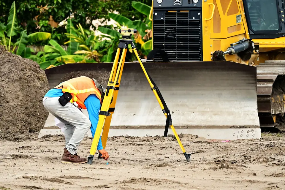
It does not replace it: it complements it. GNSS RTK and the total station are still needed for control points, for individual features requiring millimetre accuracy and for areas where the drone cannot fly. LiDAR provides the continuous coverage that traditional surveying cannot deliver within reasonable timeframes.
If your project is in the Valencia region or anywhere else in Spain and needs reliable terrain under vegetation, a power line corridor or a DTM of a large site, our drone LiDAR survey service and the point cloud page detail the deliverables, the formats and how we work.
Written by the fita team, drone mapping and surveying in Xàtiva (Valencia, Spain).